|
|
|
|
| 10 year anniversary / Flight above the Arctic Circle | ||||
|
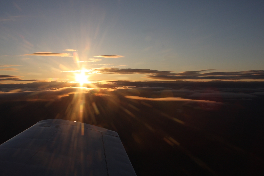
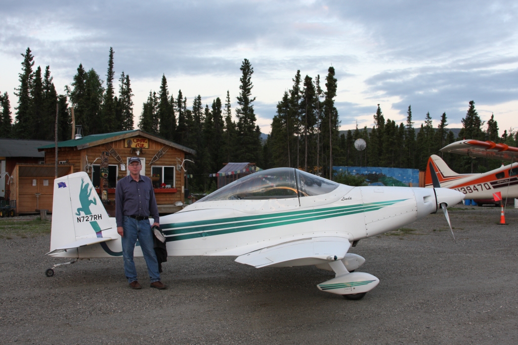
19-20 June, 2008 June 19th we celebrated the 10th anniversary of my Mustang II flying, and since it approximately coincided with the Summer Solstice (4 PM ADT 6/20) my son Matt and I took it on a flight north of the Arctic Circle to Coldfoot, Alaska. We tried to time it to cross the Arctic Circle at midnight and get some photos of the sun from the Mustang II. |
||||
 Just crossed the Arctic Circle (66°33.65'N) two minutes before midnight. (365 KB) |
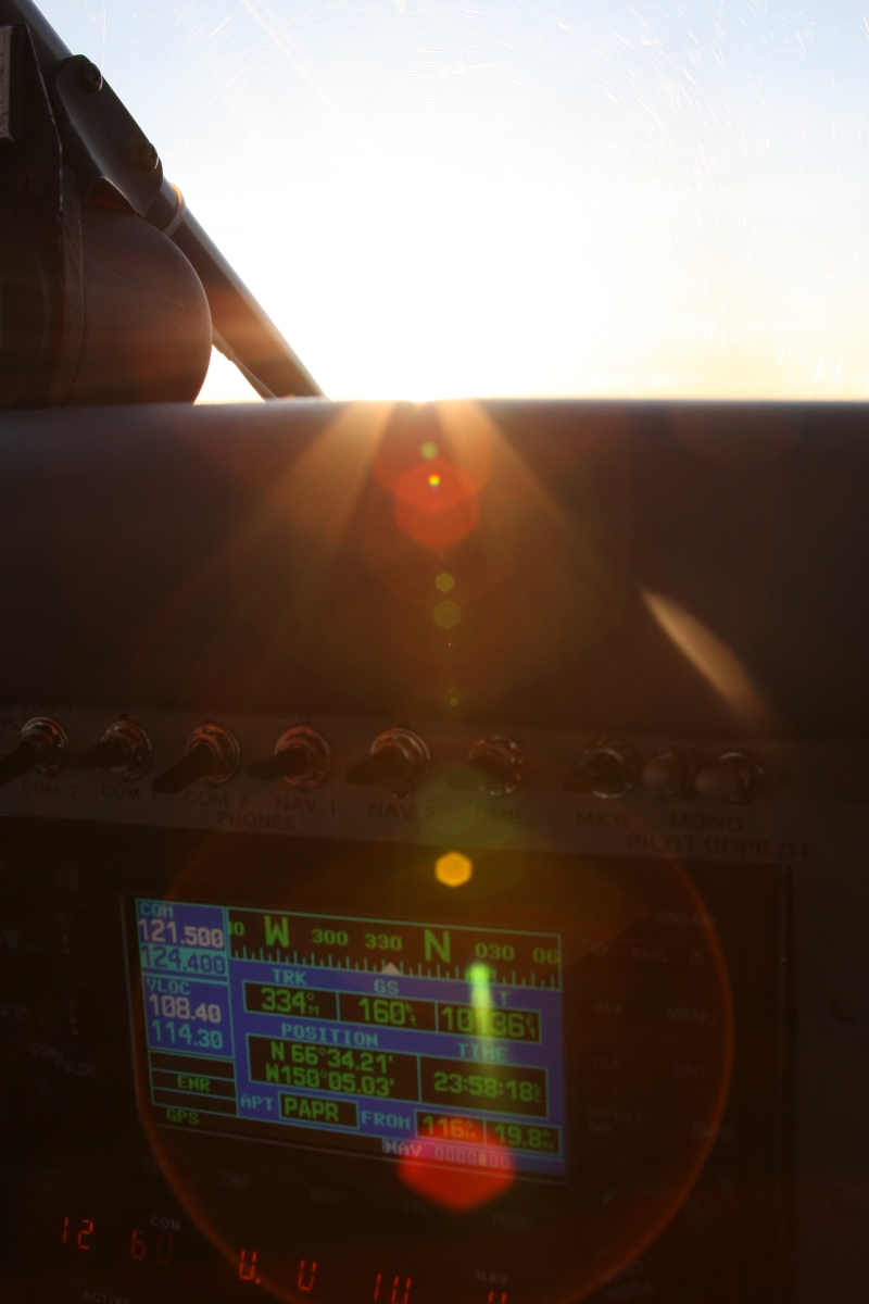
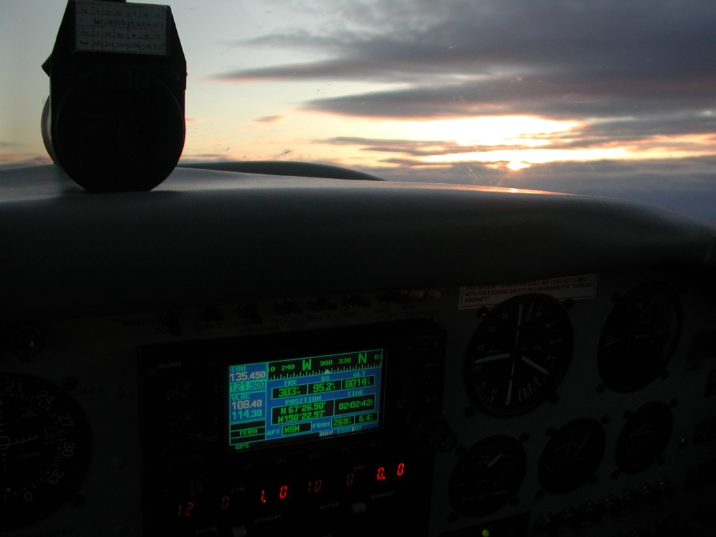
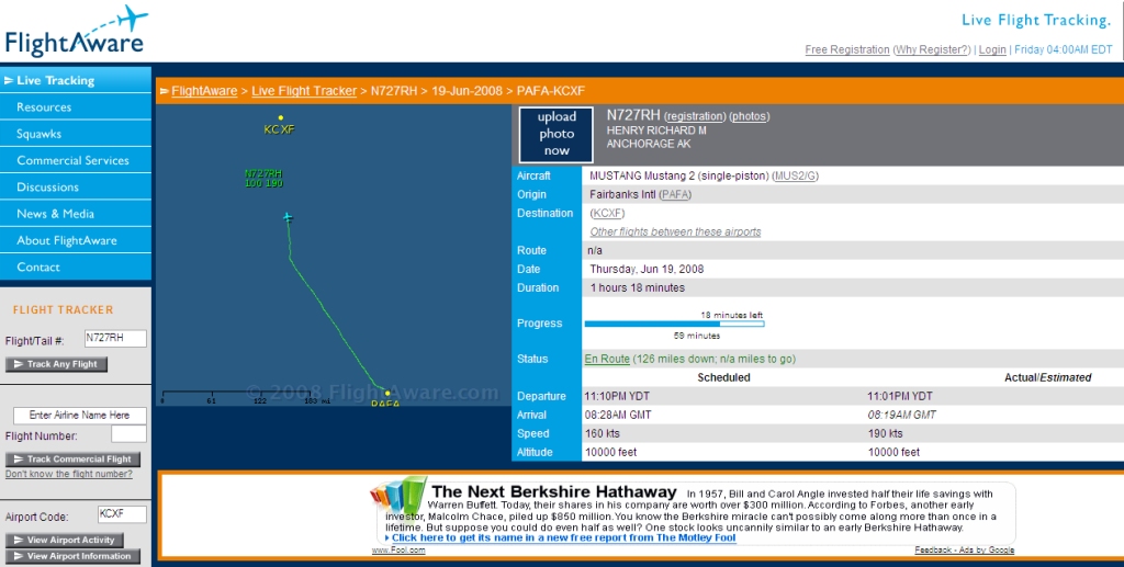 Just after crossing the Arctic Circle Flight Aware screen print at midnight. Note: Correct airport identifier is PACX / CXF (217 KB) |
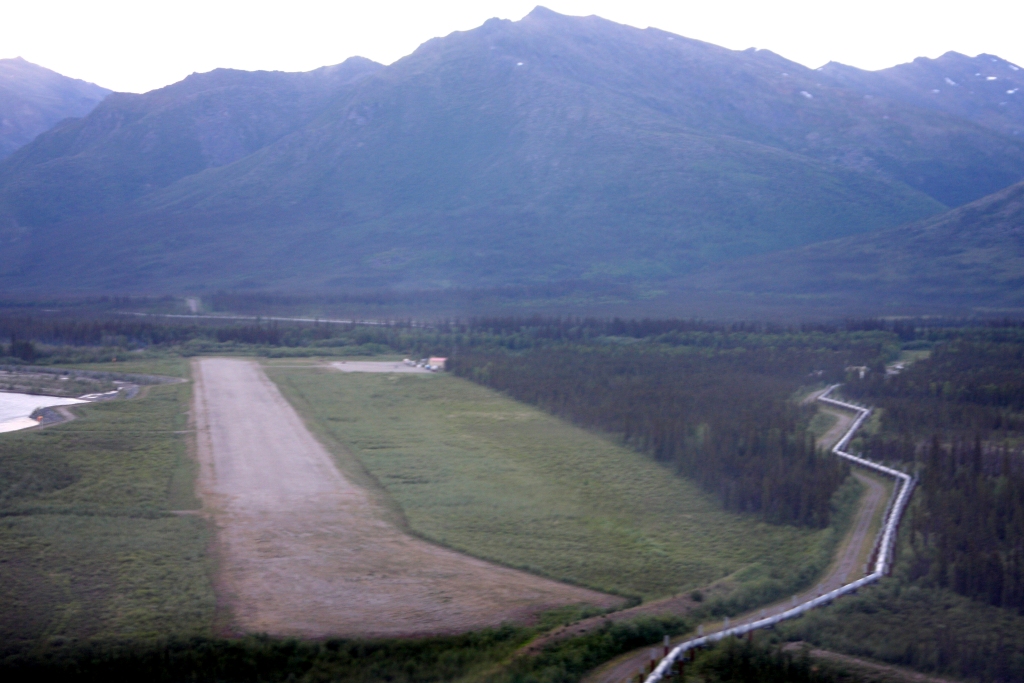 On Final at Coldfoot, Alaska at 12:15 AM. The Trans-Alaska Pipeline is on the right. (379 KB) |
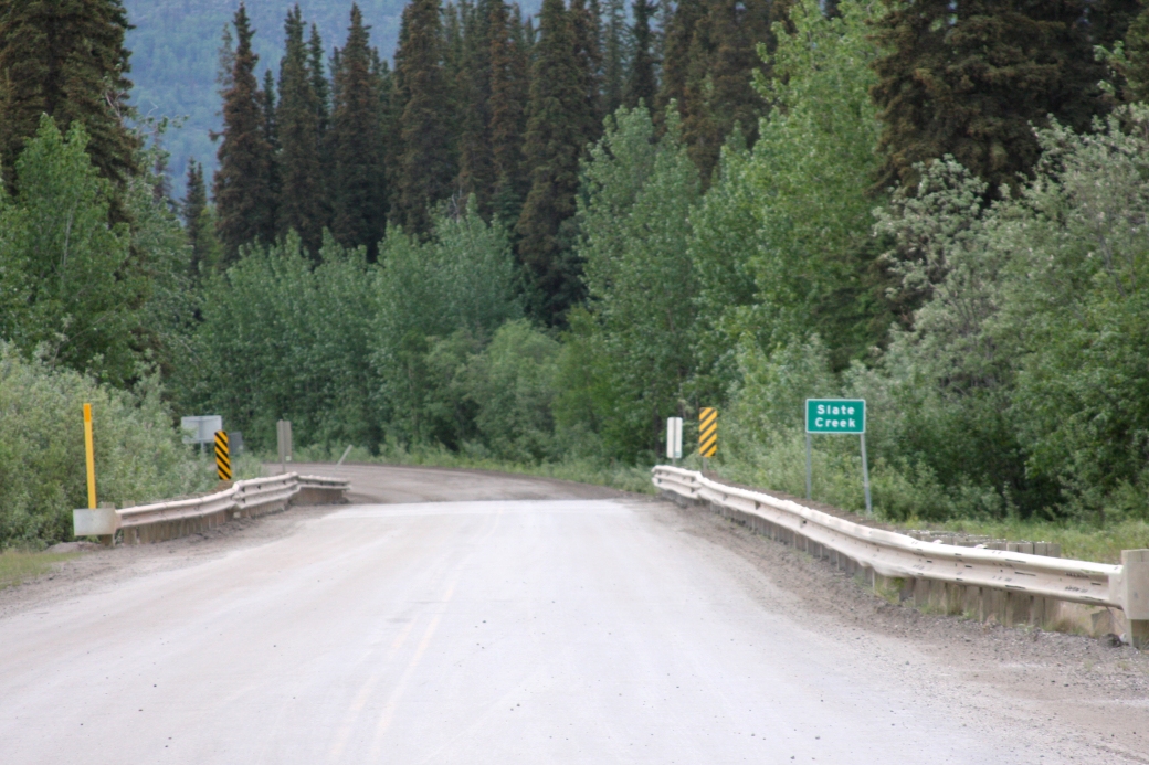 The Haul Road The Dalton Highway Northbound leaving Coldfoot for Prudhoe Bay (507 KB) |
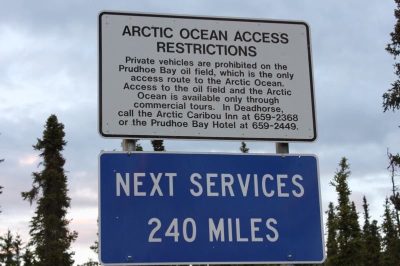 The Last Stop Northbound leaving Coldfoot for Prudhoe bay (102 KB) |
 Coldfoot Airport 40 miles north of the Arctic Circle Photo taken at 1:35 AM (465 KB) |
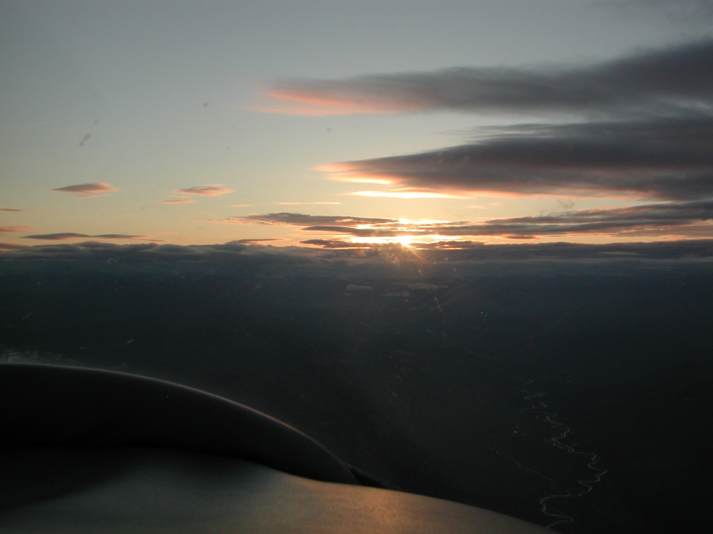
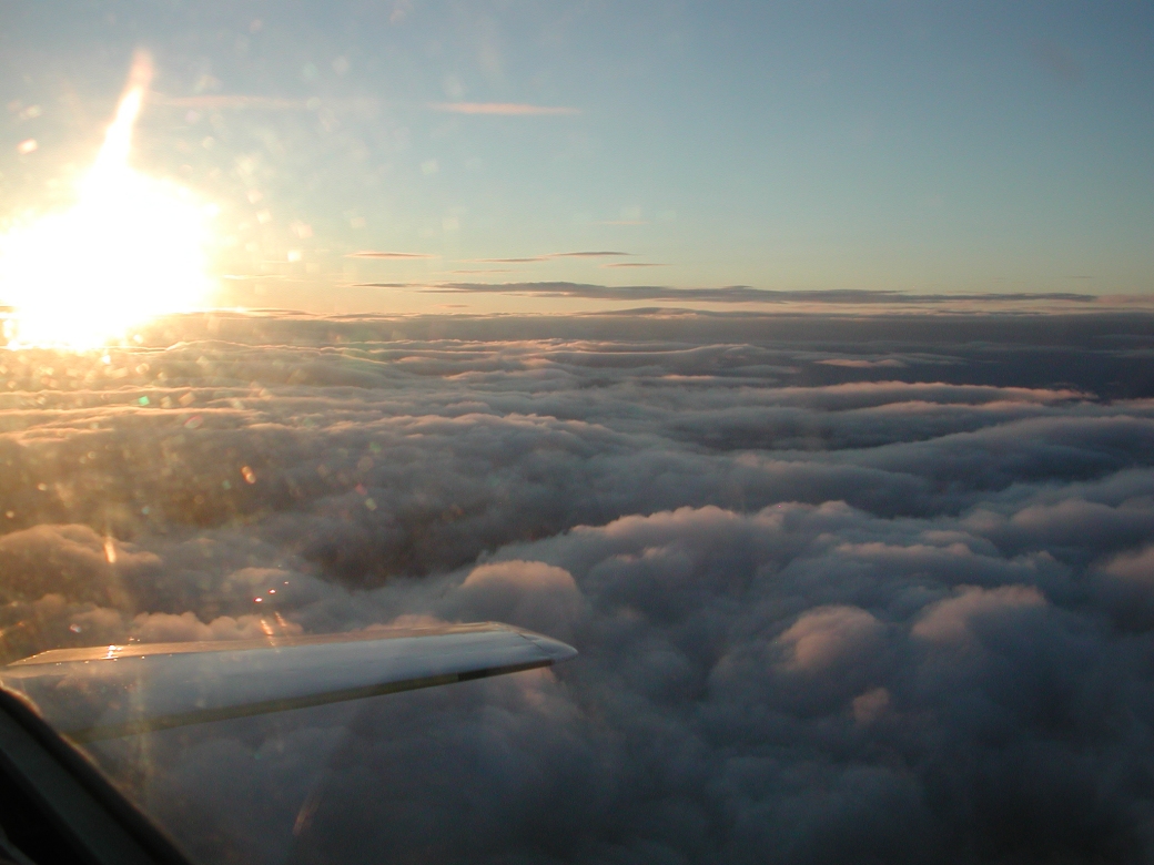
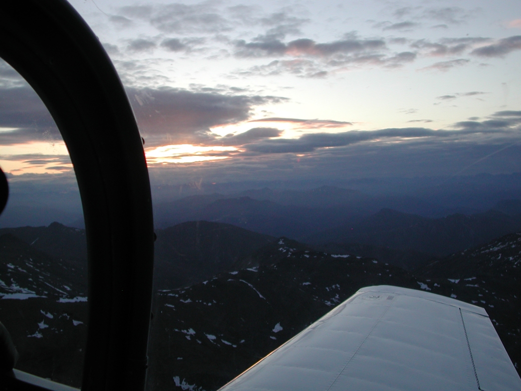 Climbing over the Brooks Range Trying to clear the clouds to see the sun clearly 1:59 AM (401 KB) |
 Lowest angle of the sun 6 west of Wiseman over Glacier Pass 2:02 AM (318 KB) |
 Midnight Sun Glacier River in view 2:04 AM (318 KB) |
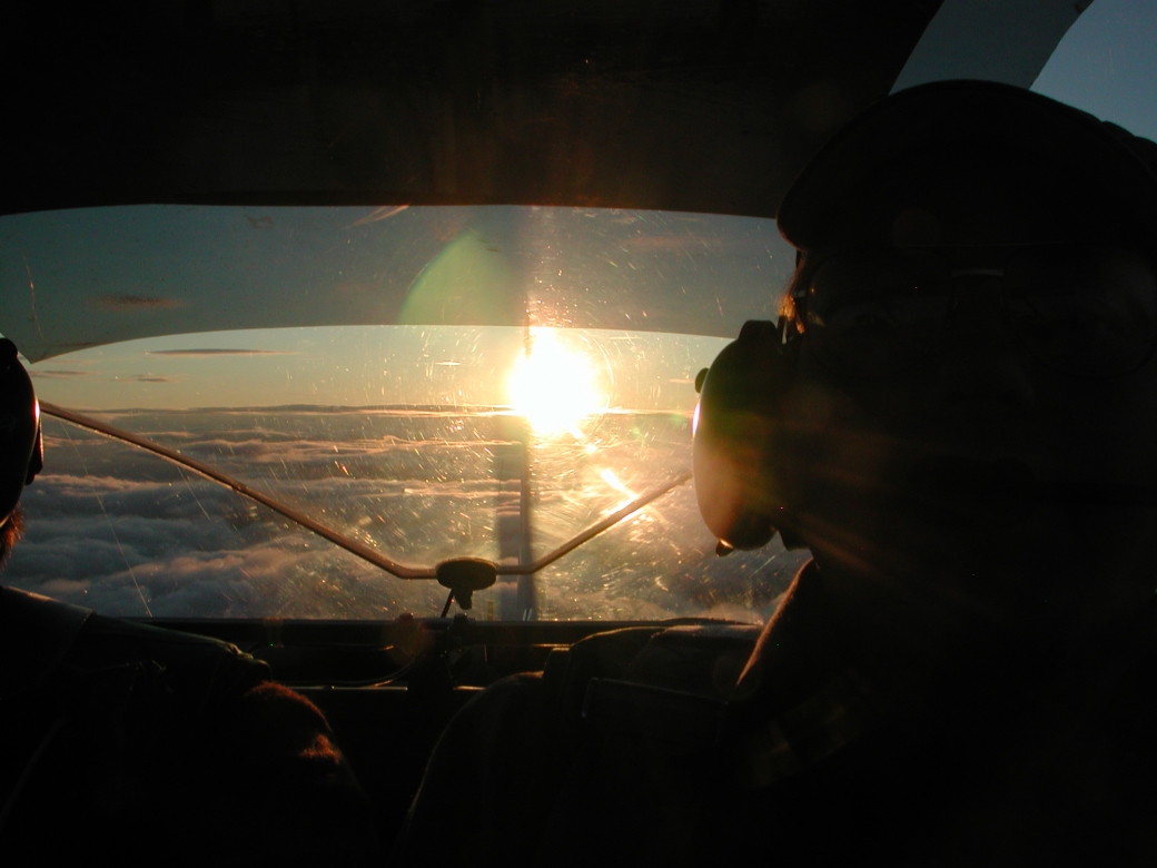
The "True Midnight Sun" (Explanation below *) (272 KB) |
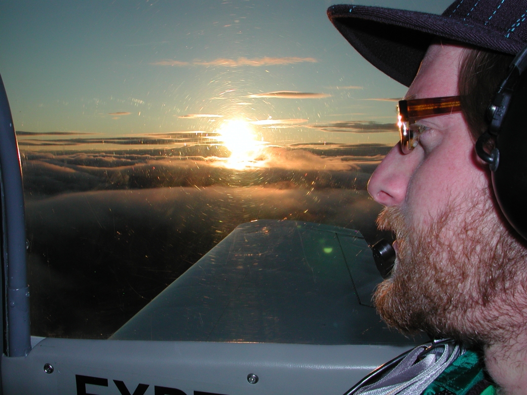 Matt and The Midnight Sun We are flying west, view is due north toward the North Pole (505 KB) |
 Southbound The Midnight Sun behind us (331 KB) |
 Over Arctic Circle SSE bound with the Midnight Sun behind (415 KB) |
Flight Track We asked for two 360° turns from Center at the Arctic Circle southbound (73 KB) |
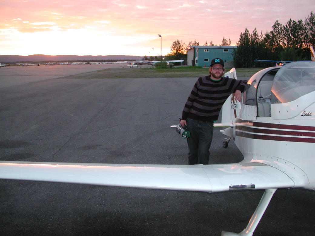 Matt in Fairbanks 3:35 AM (493 KB) |
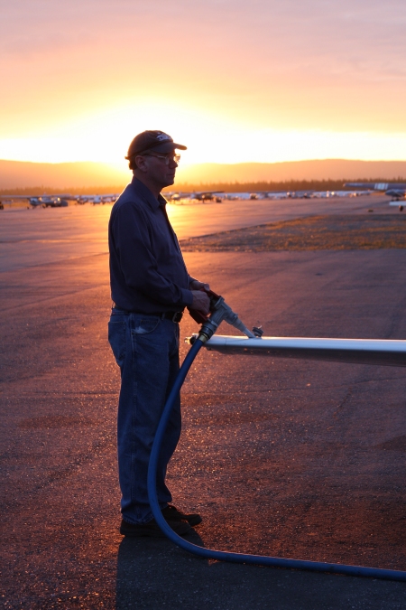 Refueling in Fairbanks at 3:30 AM (194 KB) |
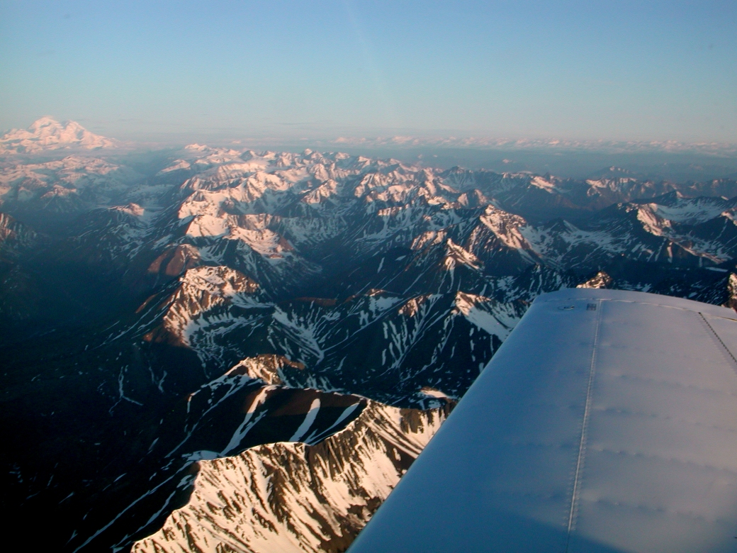 Alaska Range and Mt. McKinley 60 NM away while just north of Cantwell 4:55 AM (543 KB) |
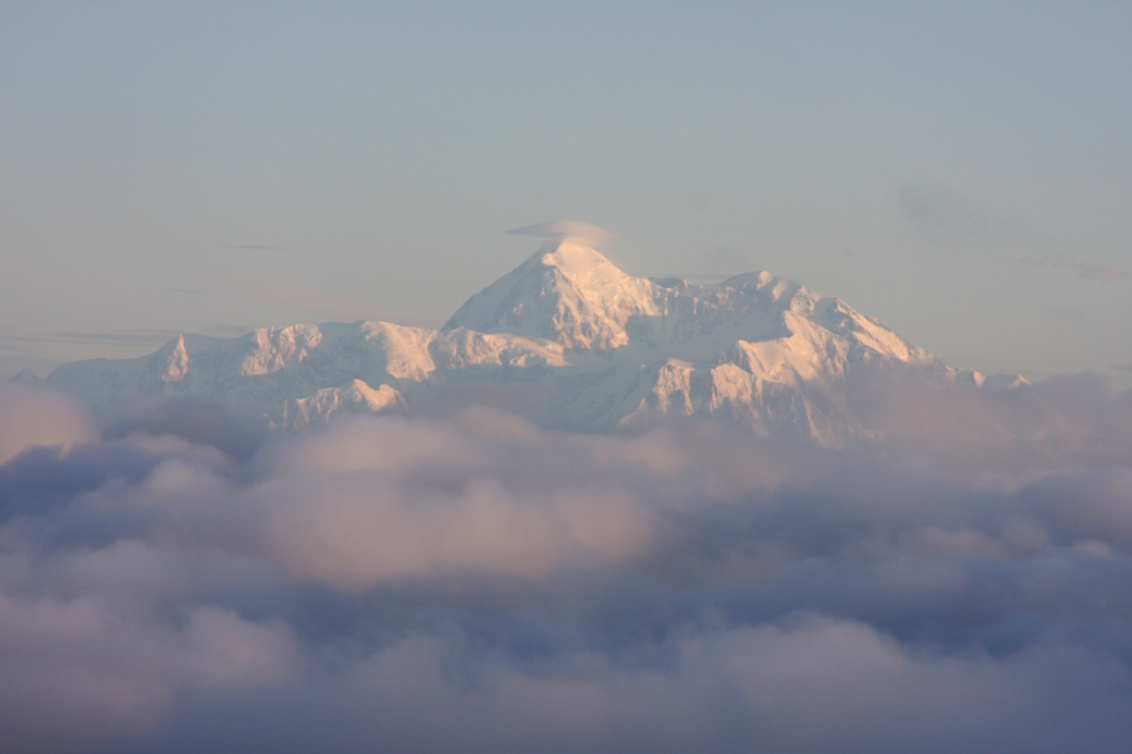 Denali / Mt. McKinley Highest point in North America (296 KB) |
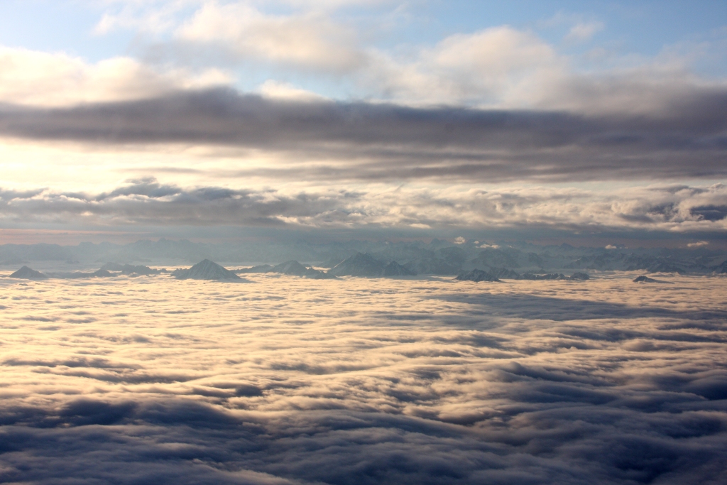 Talkeetna Mountains returning from Fairbanks 5:35 AM (388 KB) |
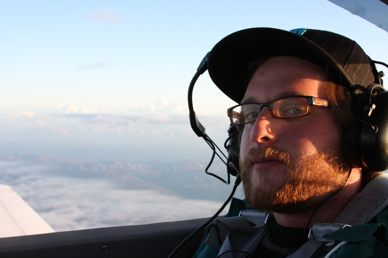 Matt returning from Fairbanks It's now been a very long 'day'... (193 KB) |
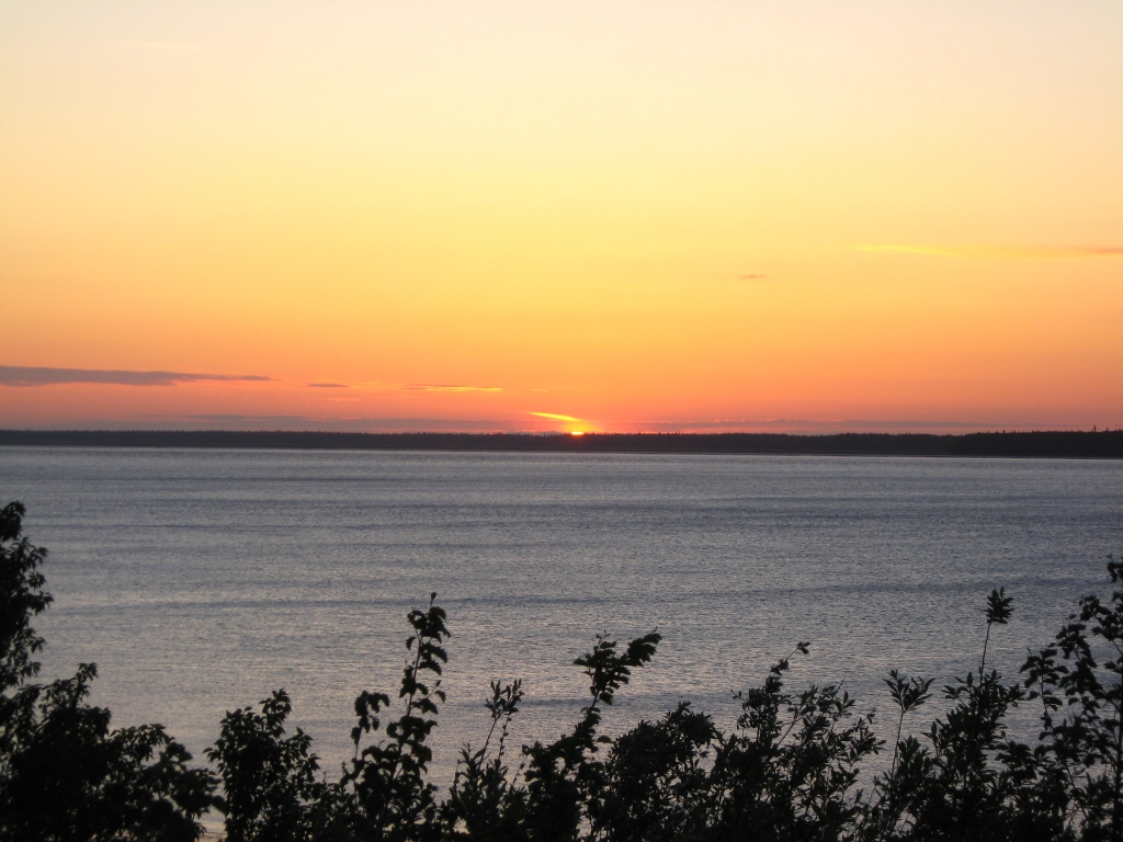 Summer Solstice Sunset in Anchorage Much later that same day on the longest day of the year at 11:42 PM Our first sunset in 48 hours (446 KB) |
||||
|
| ||||
| GeoClock views The shaded area is civil twilight - where the sun is less than 6° below the horizon. |
||||
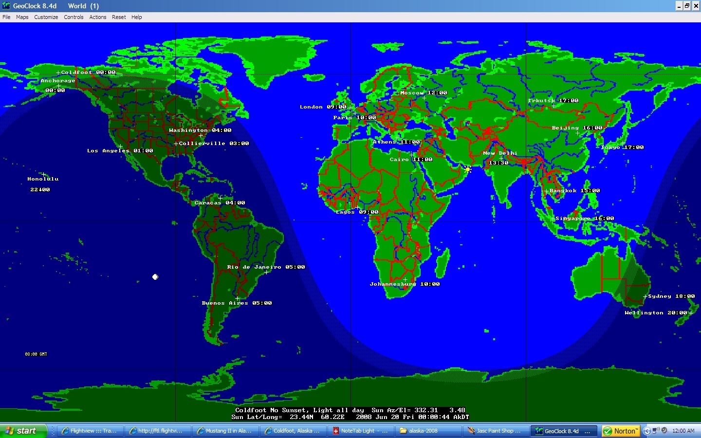 Midnight Alaska Time Notice that the sun's azimuth is 332° - not north. (390 KB) |
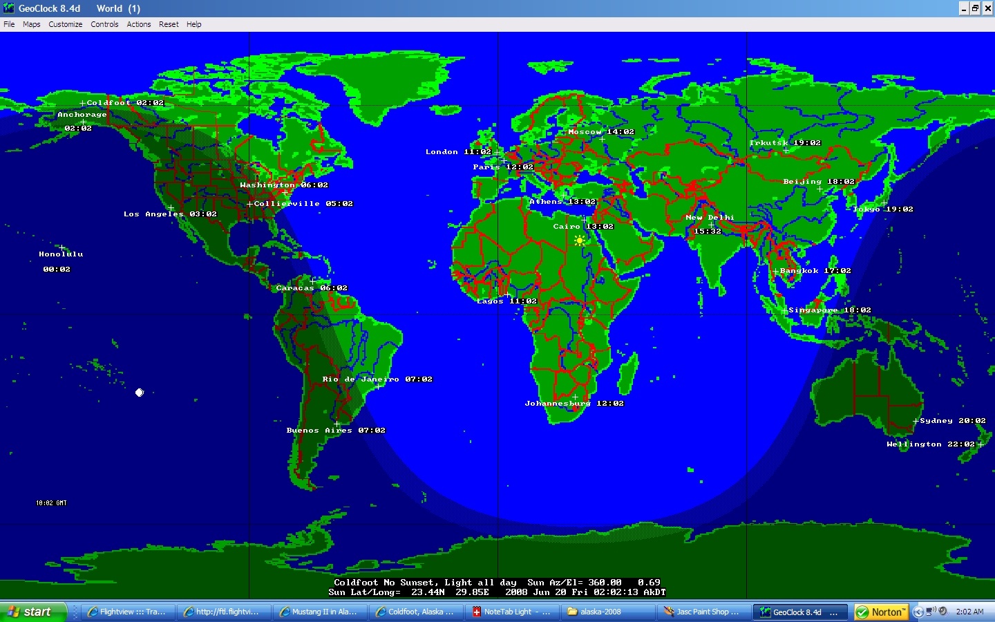 'True Midnight' Alaska Time Sun's azimuth is 360° (388 KB) |
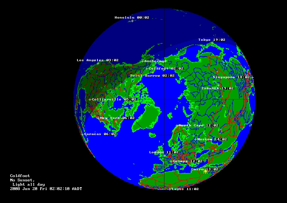 Polar View 'True Midnight' Alaska Time Sun's azimuth is 360° (295 KB) |
||
| * Explanation of "True Midnight Sun" photo Warning: This may be more information than you wanted... :-) Matt and I waited on the ground 1 1/2 hours swatting mosquitoes at the Coldfoot Airport / Truckstop - the world's most northern truckstop - before taking off to get this photo. Aircraft is heading west approx. 15 miles NNW of Coldfoot, climbing to get a view clear of the clouds. The sun is at it's lowest angle exactly True North at 2 AM (not midnight) - looking over the North Pole. Due to Alaska's "double daylight savings time", the time zone is actually 2 hours "off" of solar time, thus 2 AM is [what I call] the "corrected solar midnight", or "True Midnight". To be more precise, it was actually at 02:02:13 ADT after correcting for the 'Equation of Time' and our Longitude. |
||||
|
| ||||
|
Explanation below 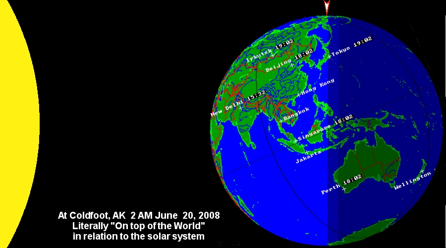
It occurred to me the uniqueness of being at (or just above) the arctic circle at the moment of the solstice when the sun is at True North. Matt and I and the Mustang II were literally "at the top of the world" in reference to the solar system, or in reference to the orbit of the earth at that time. (Actually, within 2/3 of a degree, since we were north of the arctic circle by 40 Nautical miles when on the ground at Coldfoot). At the scale of the full-size image, we were 3/1000 ths of an inch left of the red arrow. I'd say that was darn close... Of course, the sun's radius and distance is nowhere near to scale with the earth as shown in these images. The sun is ~1,175 earth diameters away, or about 500 feet left of the earth at this scale. The sun's diameter is ~109 times that of earth, or about 50 feet in diameter at this scale. |
||||
|
| ||||