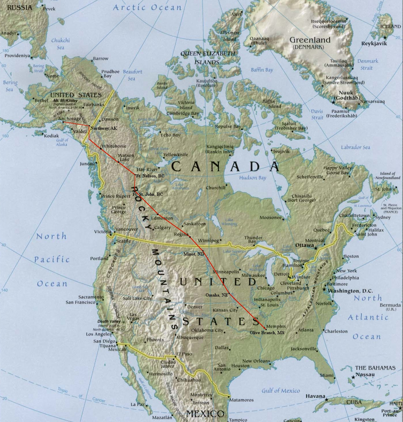
2010 Experimental Airplane - N727RH Updated August 7, 2010 WARNING: Proper flight planning and preparation is required for all flights to and in Alaska. Attempting to fly this route or duplicate this trip would obviously be AT YOUR OWN RISK.
|
|
Photos
Flight from Mississippi to Anchorage - May 23-25, 2010
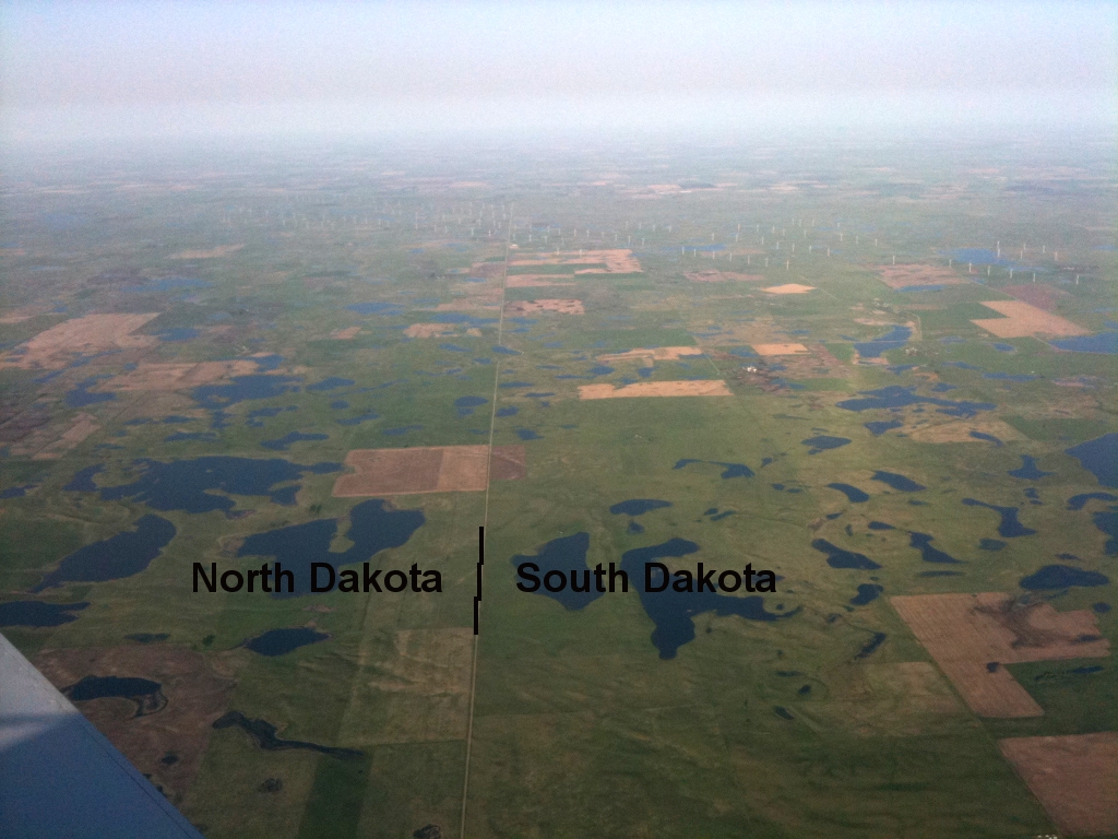 North Dakota / South Dakota border |
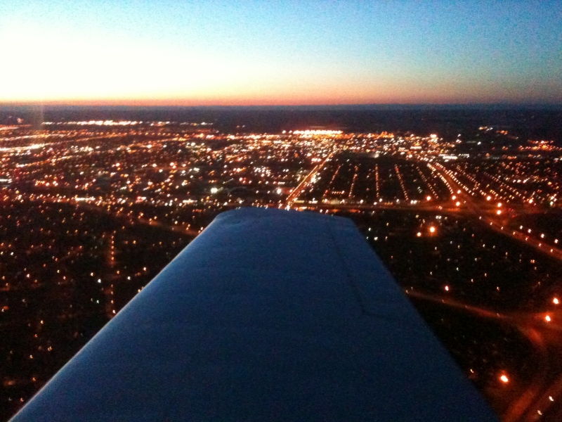
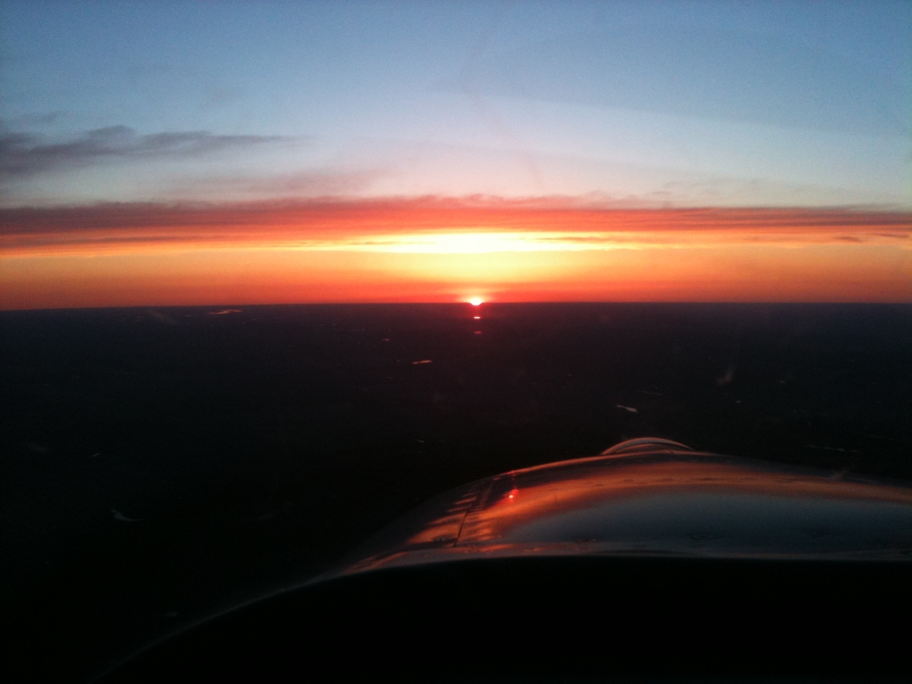 Sunset while crossing into Canada |
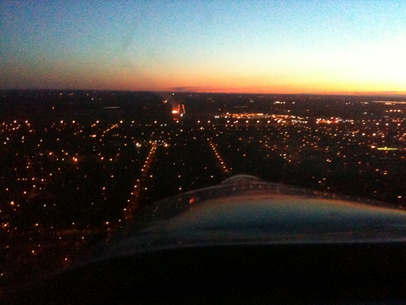
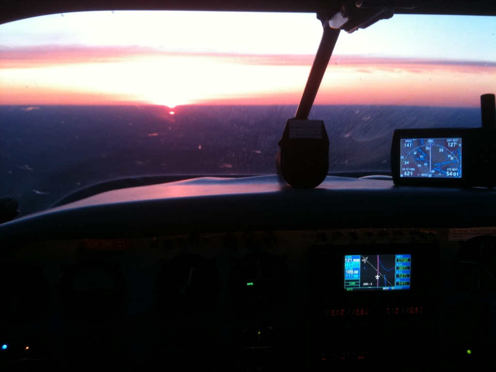 Sunset while crossing into Canada - GPS view |
 Regina Saskatchewan |
 Landing at Regina, SK |
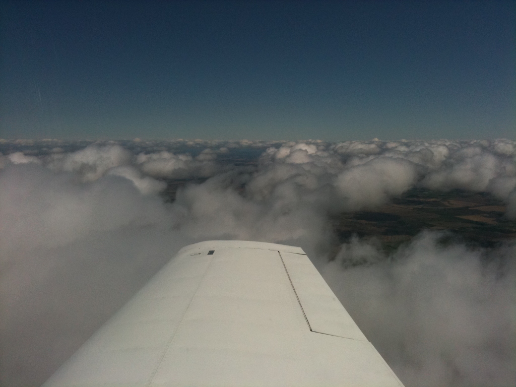
 Over Saskatchewan |
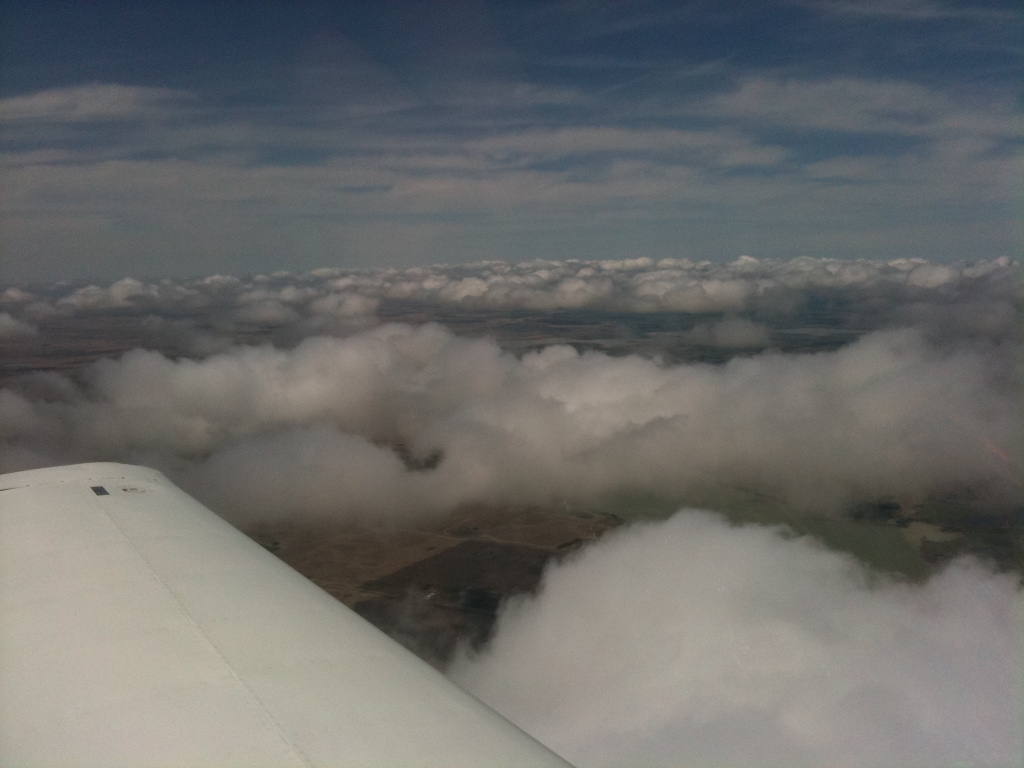
 Over Saskatchewan |
 Edmonton City Airport |
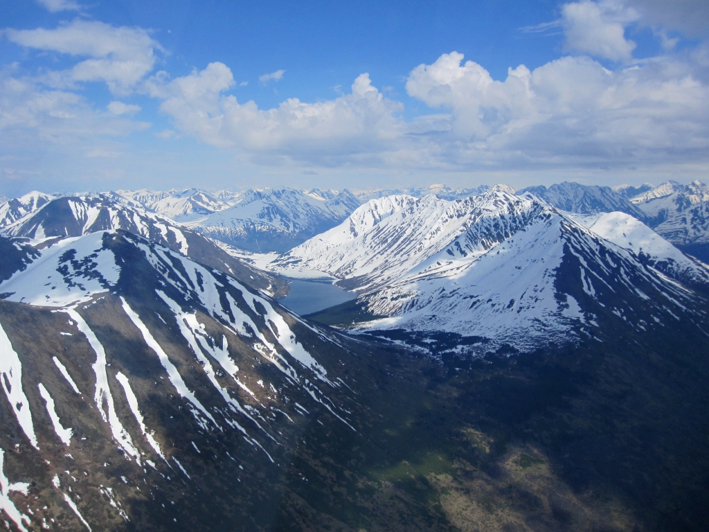
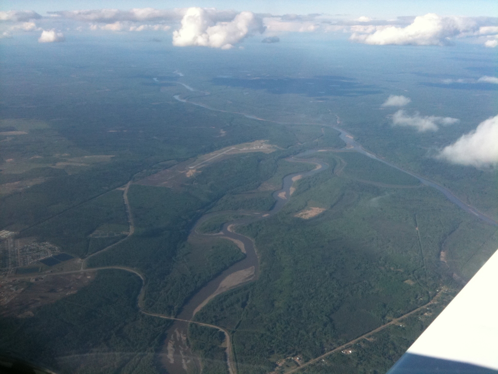 Fort Nelson from 10,000' |
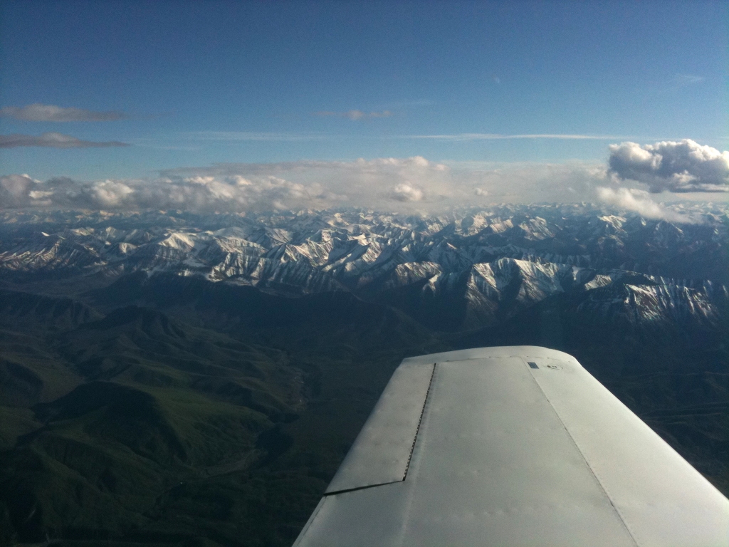 Sentinel Range south of the Liard River |
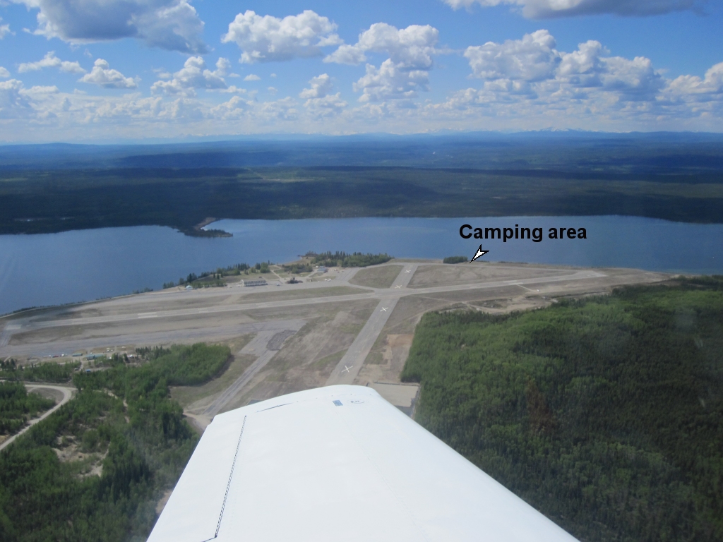
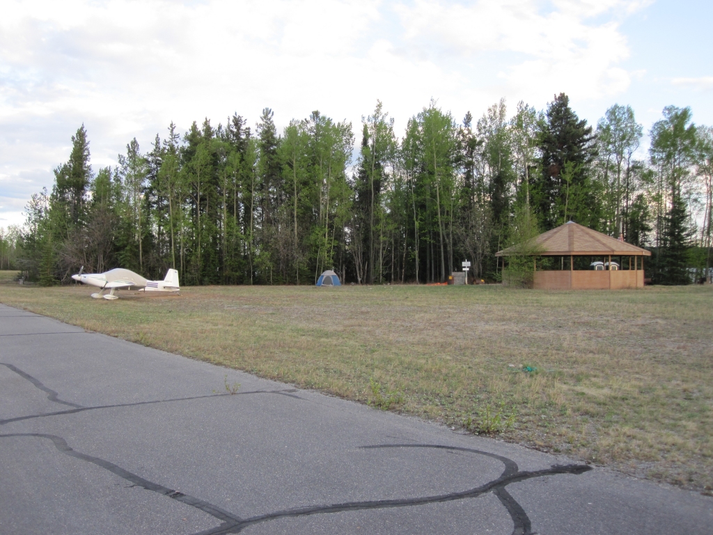 Watson Lake Camping Area |
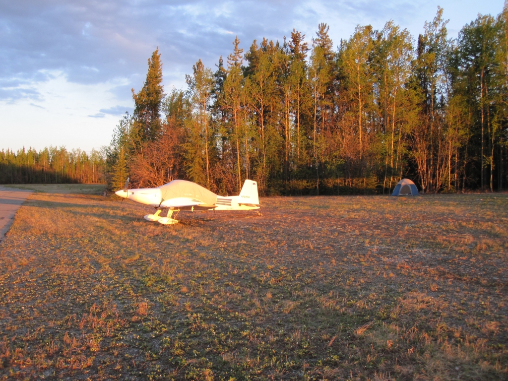 Camping at Watson Lake at 10 PM |
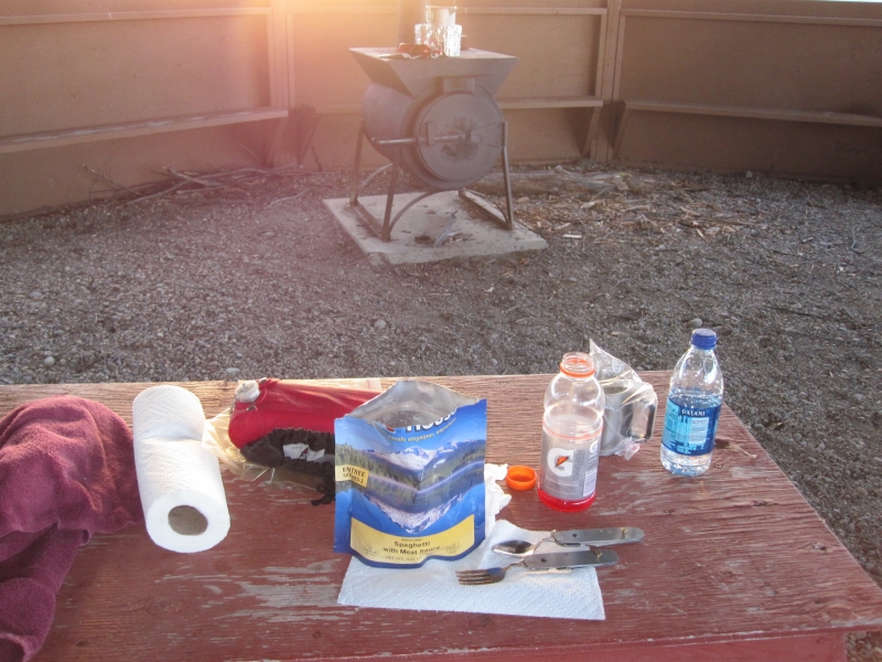 Dinner 'backpack-style' |
 View of the Watson Lake facilities |
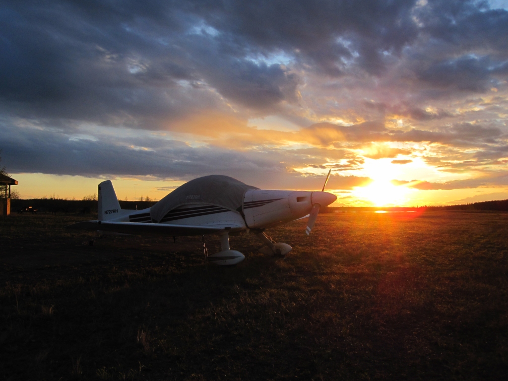 Sunset at Watson Lake |
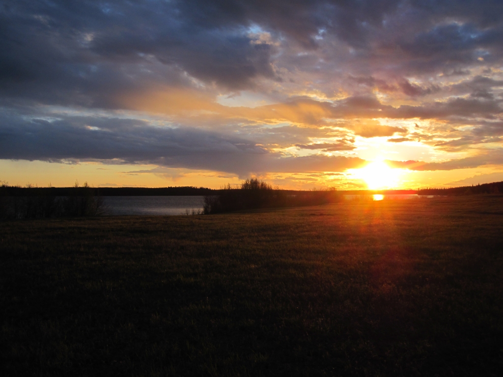 Sunset at Watson Lake |
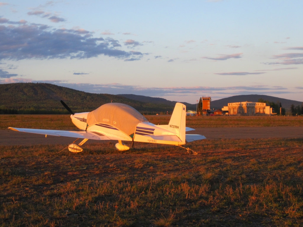
 Watson Lake Airport |
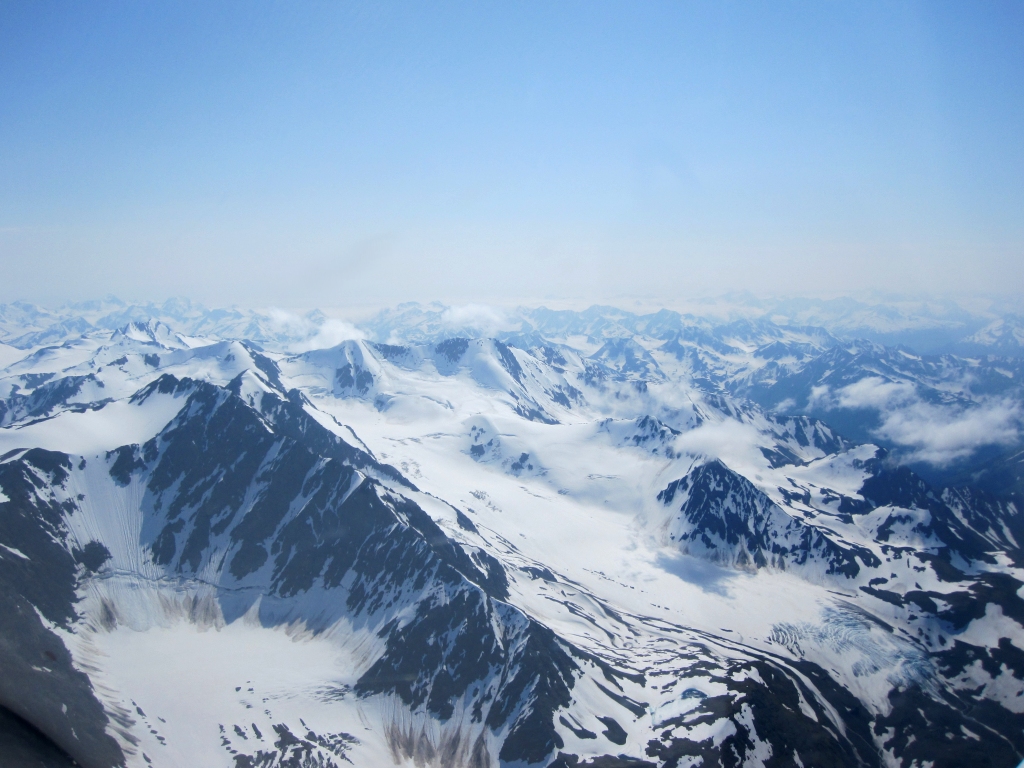
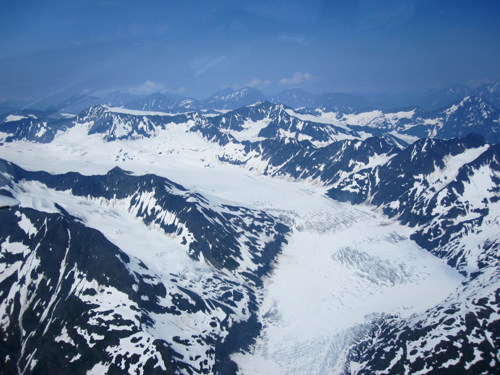
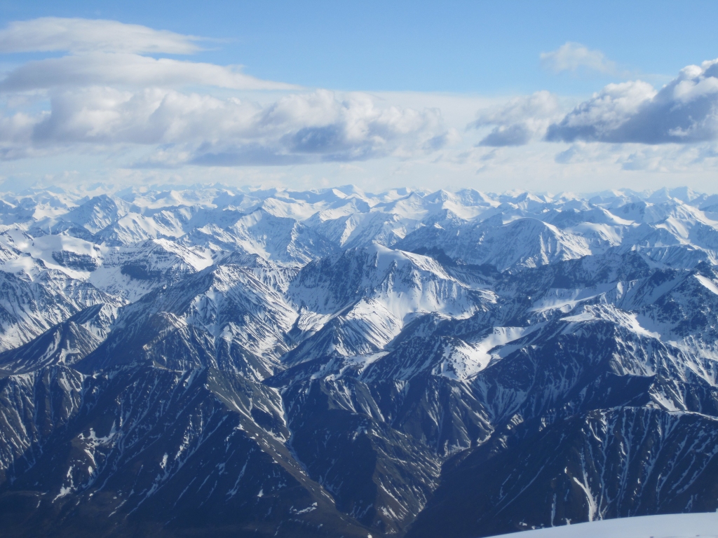
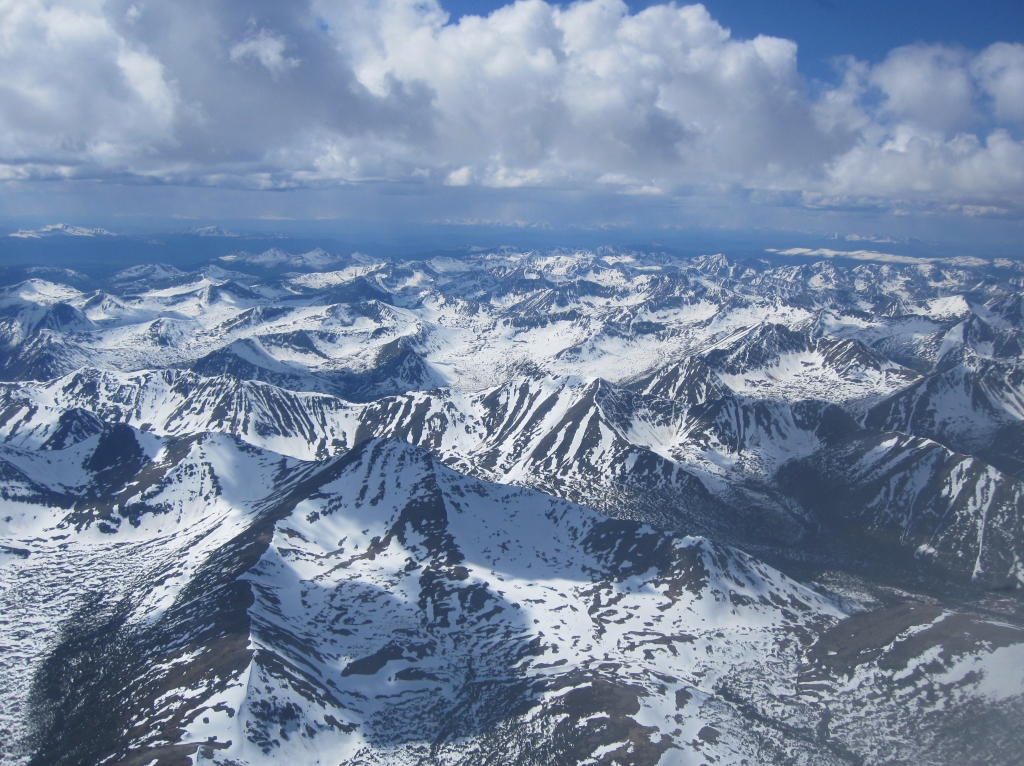 Cassiar Mountains |
 Virga (and turbulence) approaching Whitehorse, YT |
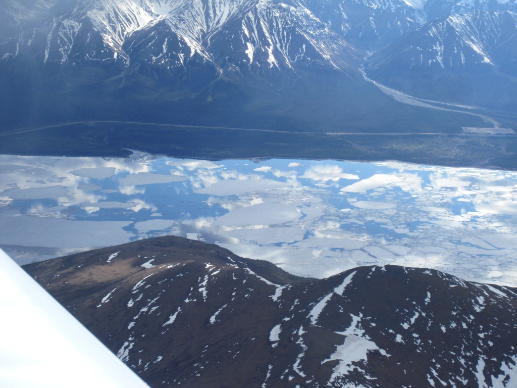 Kluane Lake mirror-like reflection of the clouds |
 Kluane Lake ice |
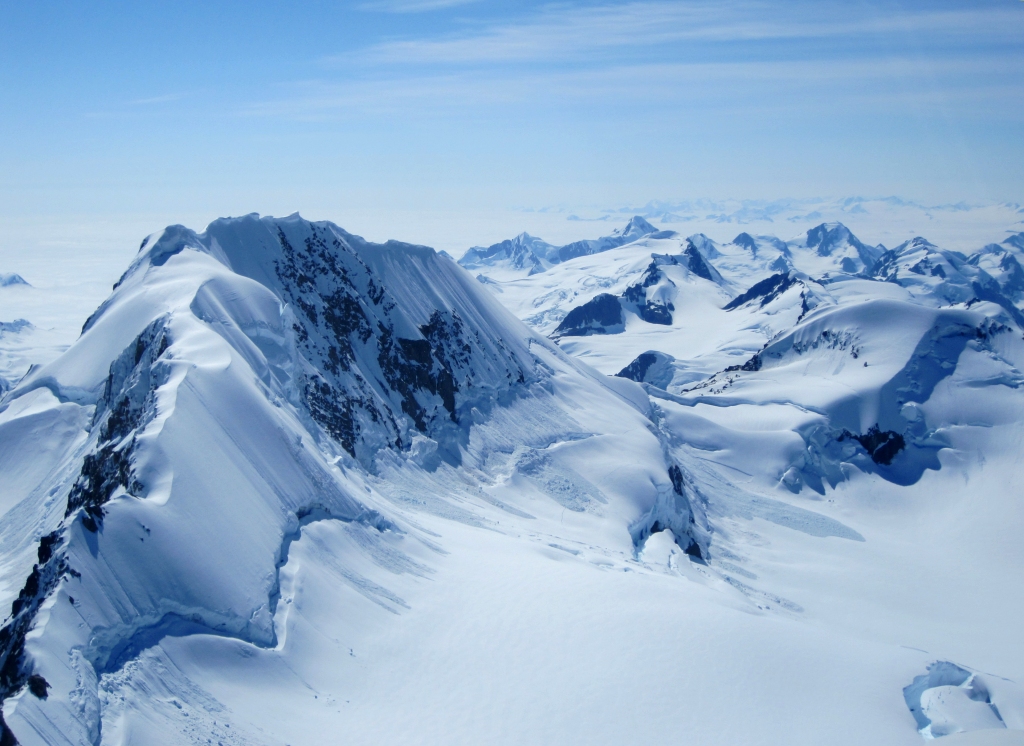
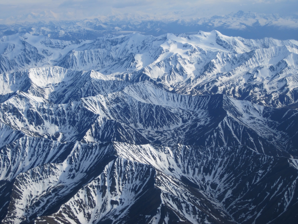
 Kluane Range |
 Mentasta Mountains west of Northway, Alaska |
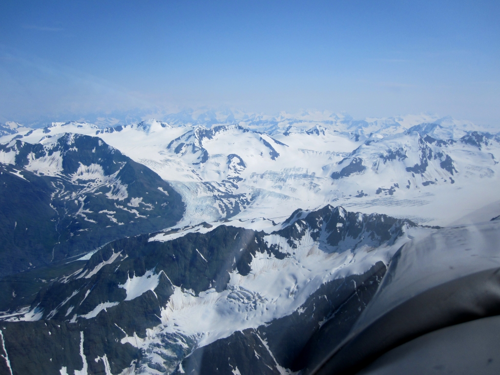
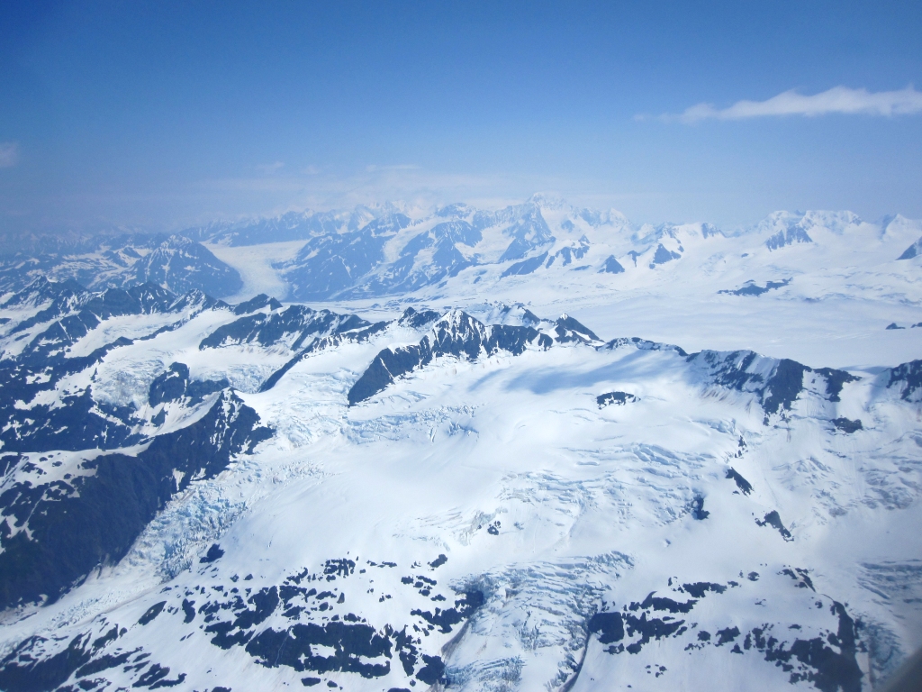
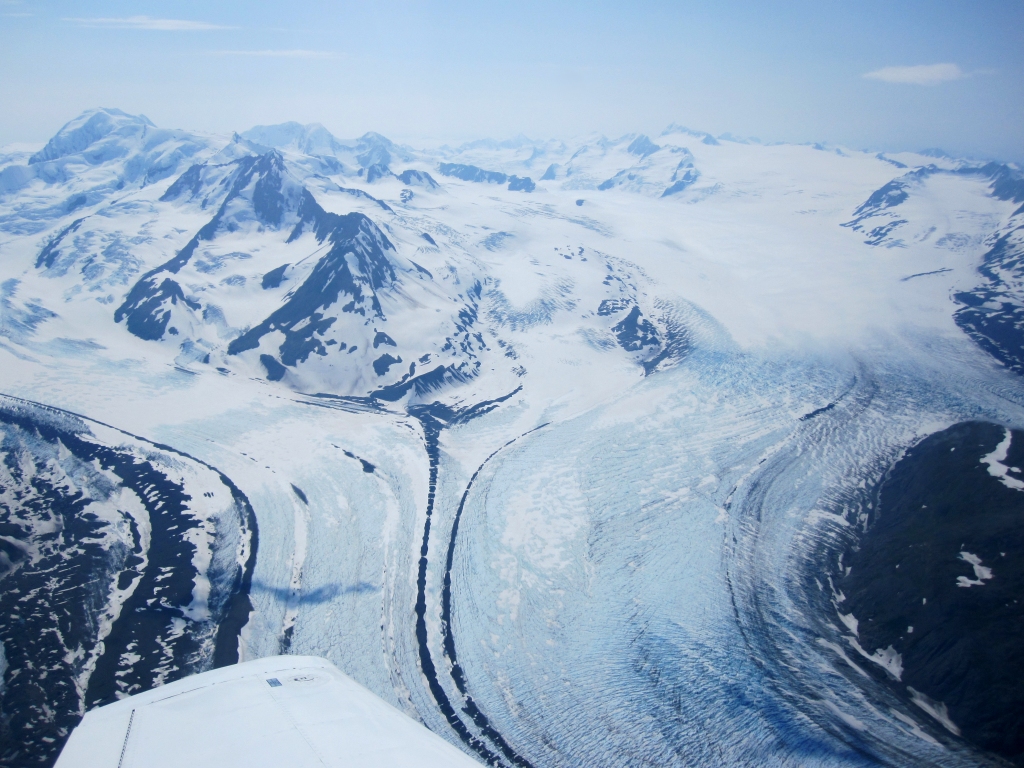
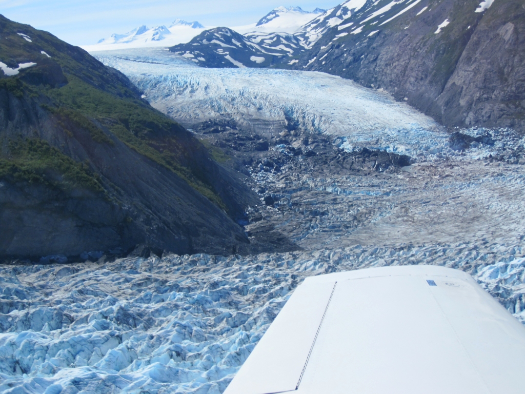
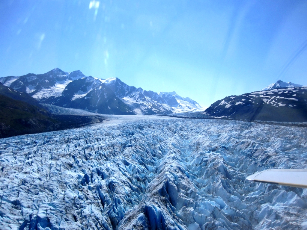
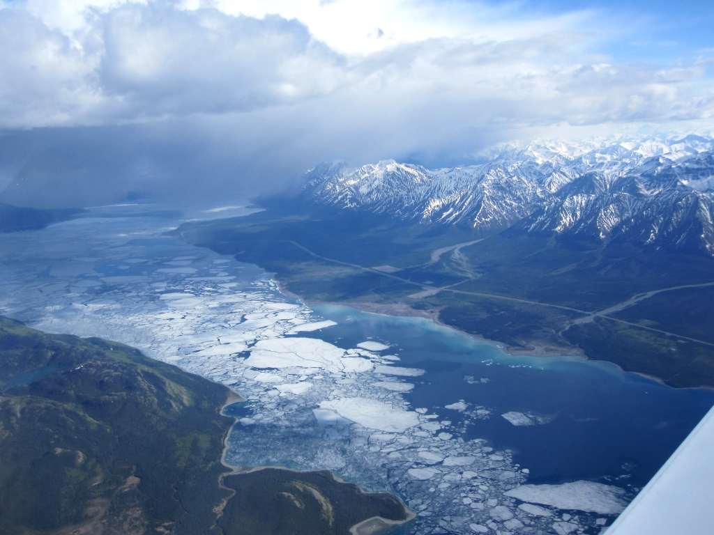
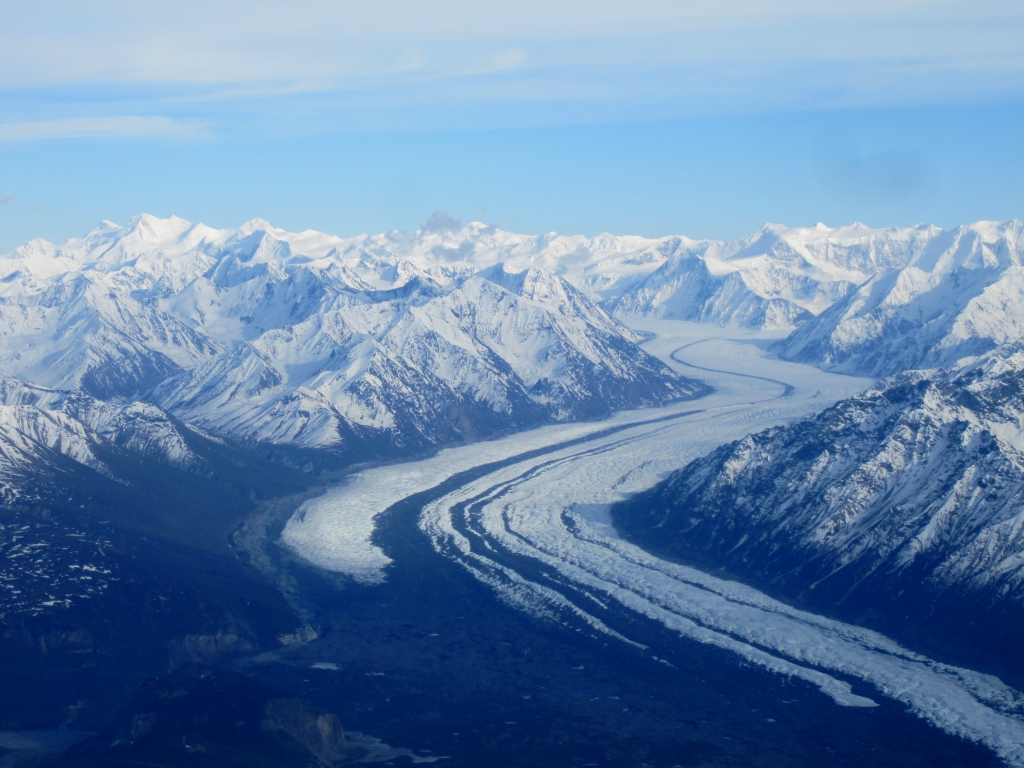
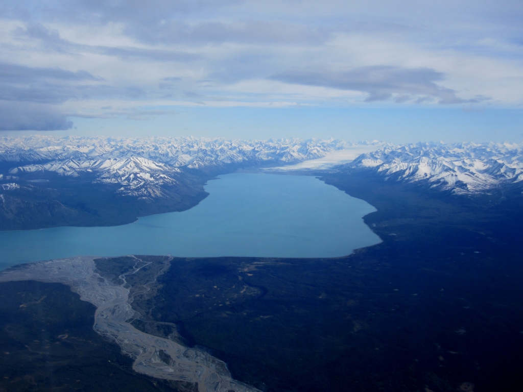 Tazlina Glacier and Lake |
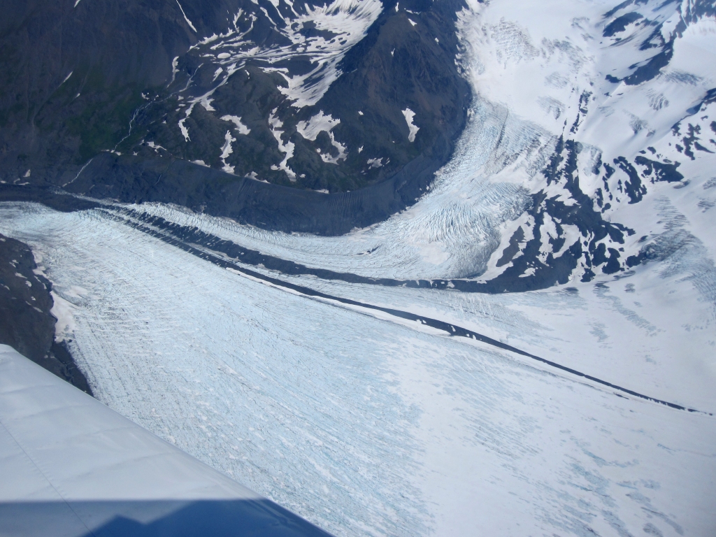
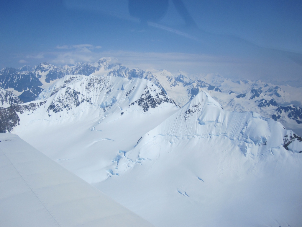
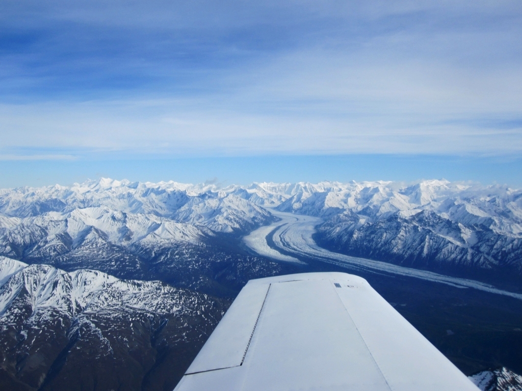 Matanuska Glacier |
 Matanuska Glacier |
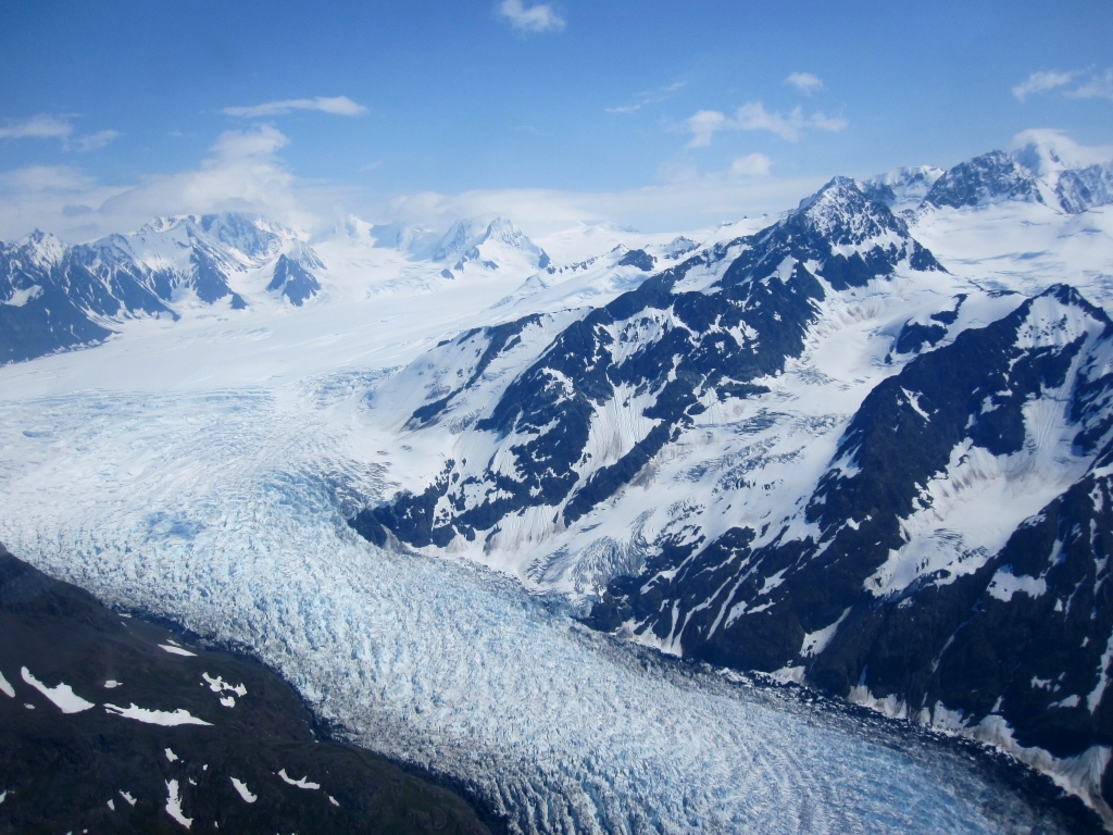
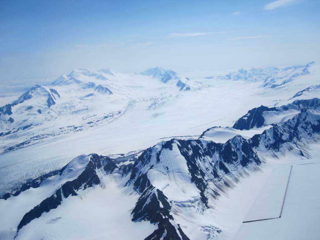
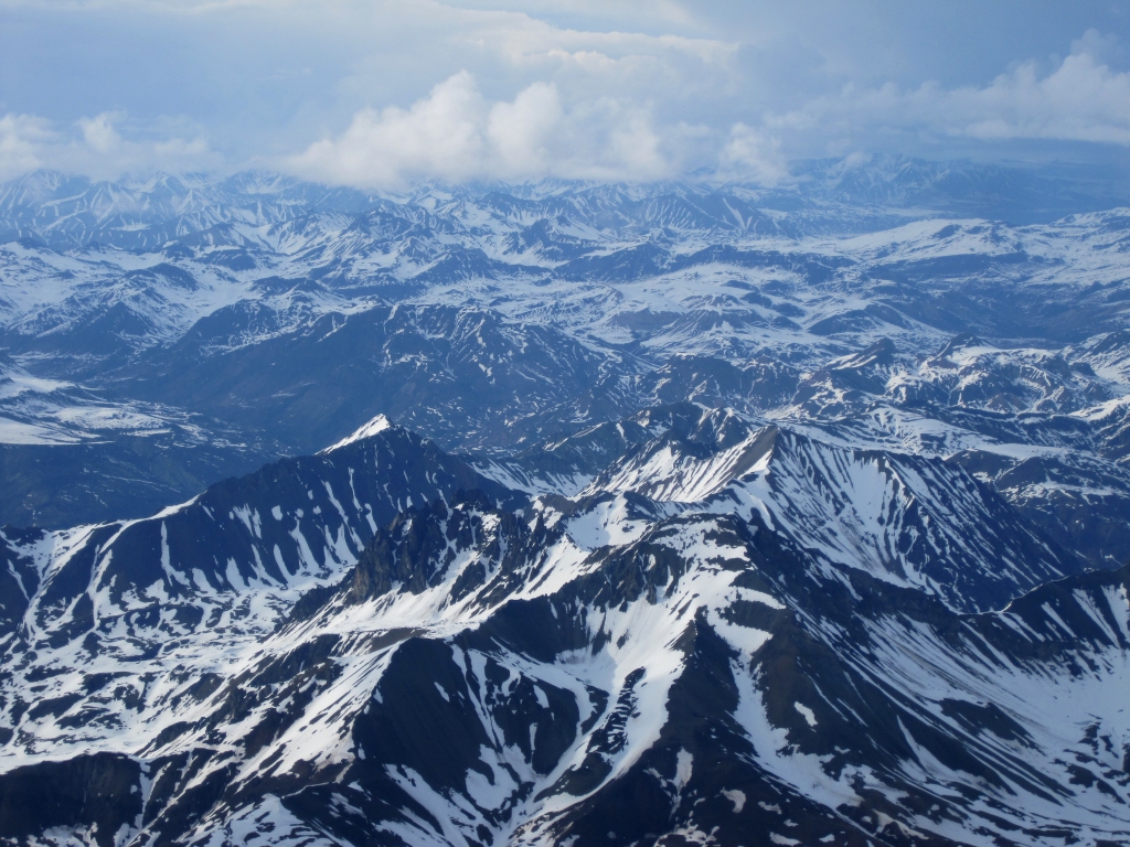 Talkeetna Mountains north of the airway |
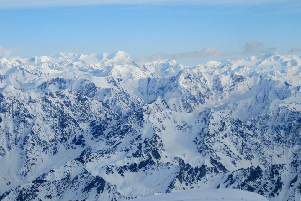 Chugach Mountains south of the airway approaching Anchorage |
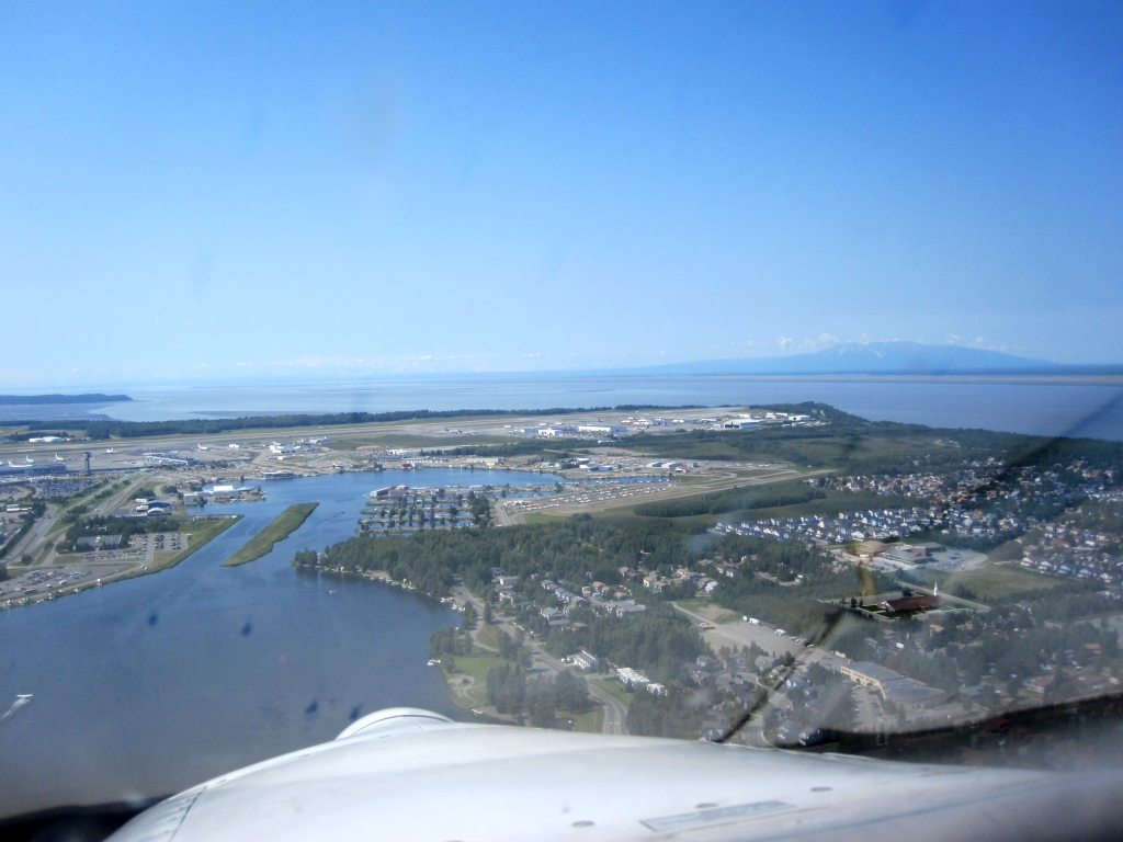
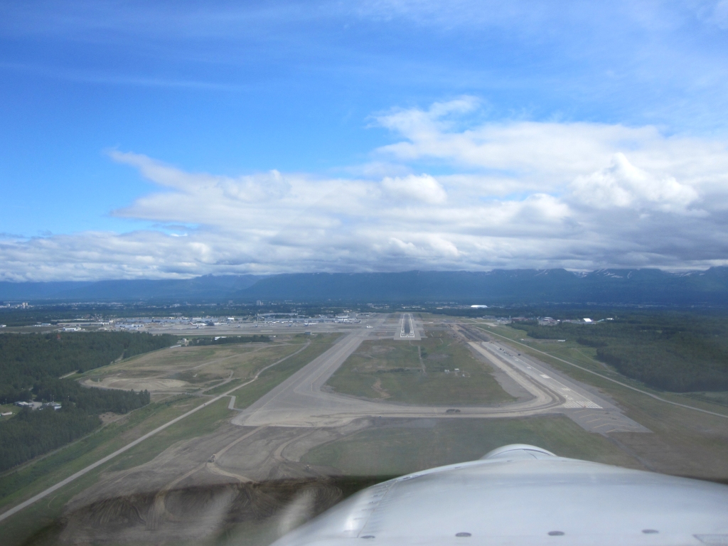
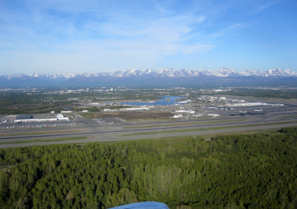 Anchorage International Airport and Lake Hood Seaplane Base |
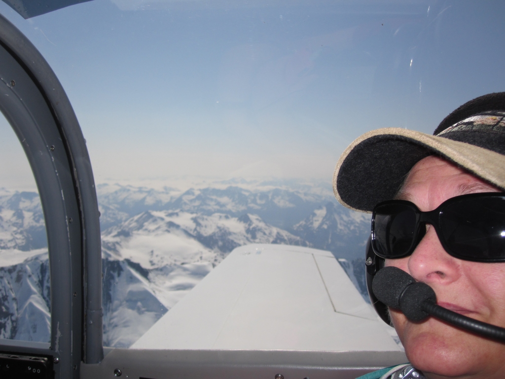
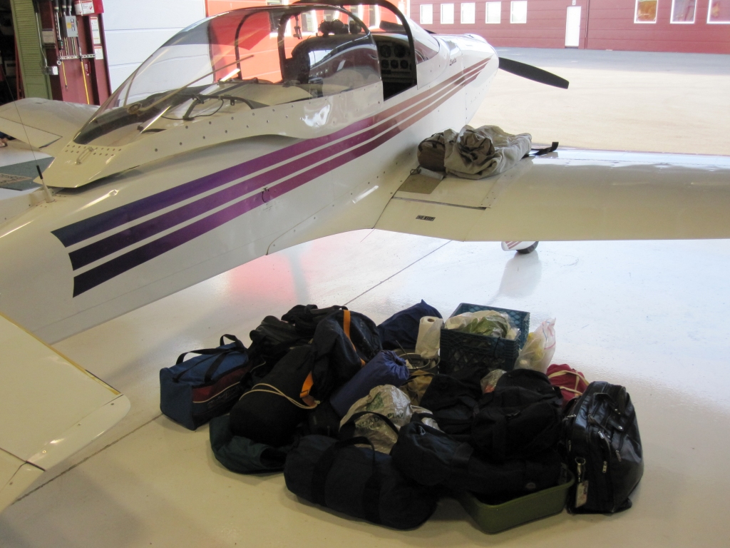 The gear for the flight |
Flight to Seward - May 30, 2010
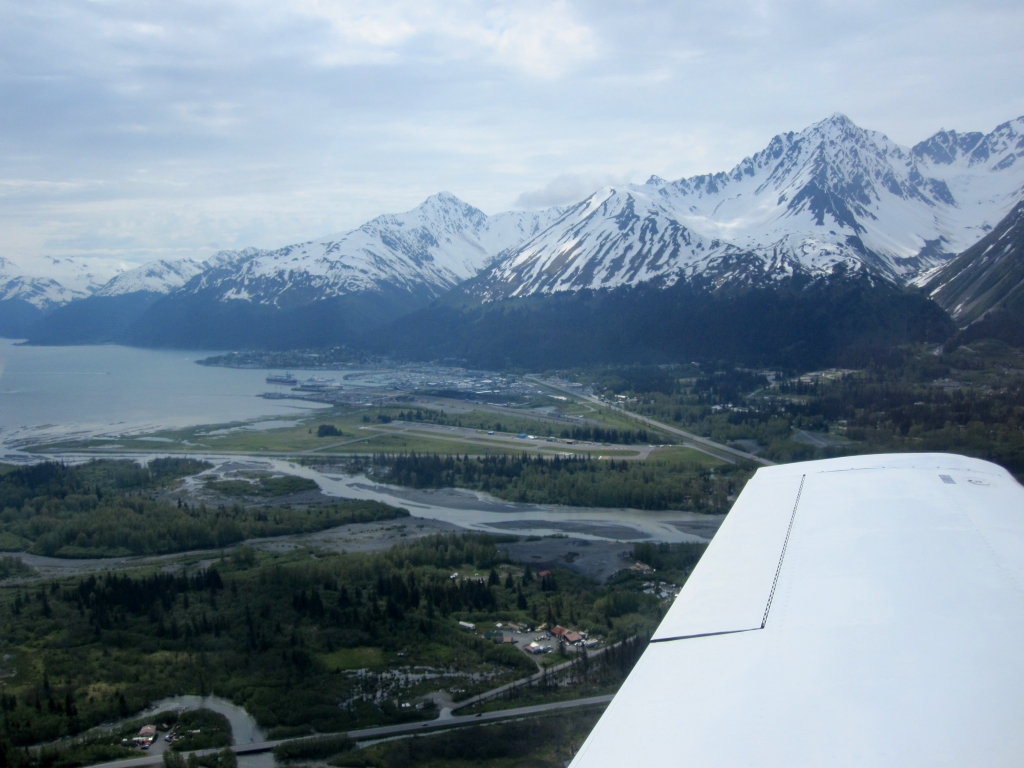
 Enroute to Seward, Alaska |
 On downwind for runway 13 - Seward, Alaska |
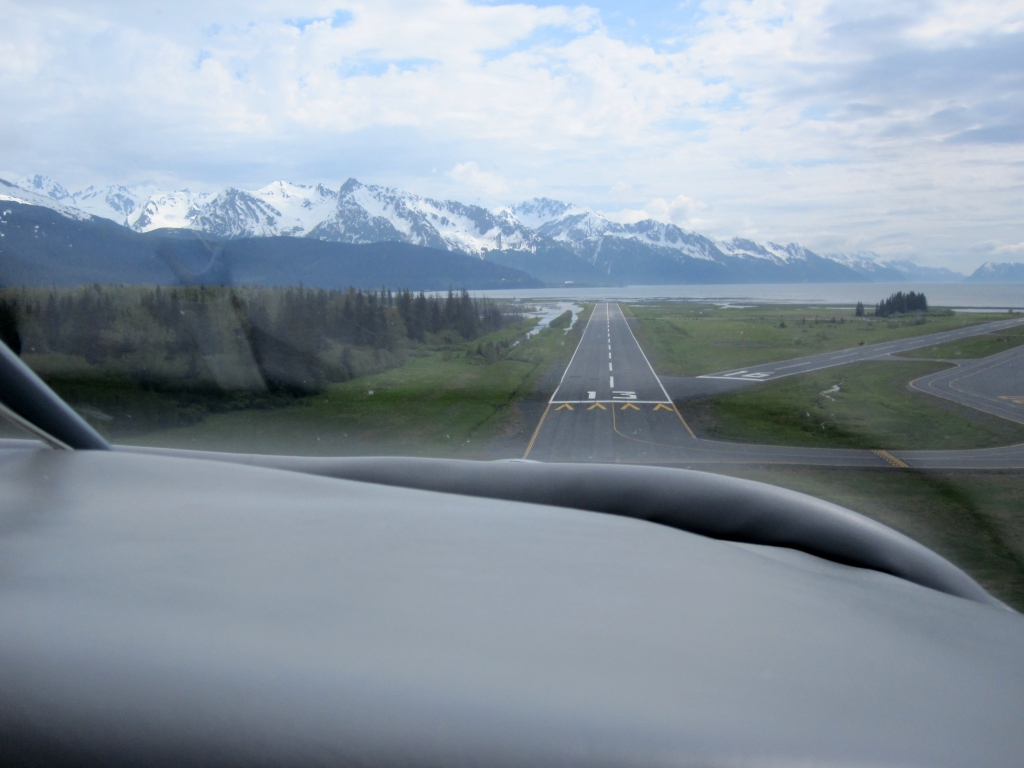 Landing at Seward, AK |
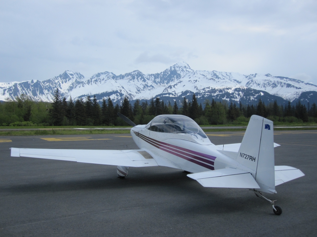 Parked at Seward, AK |
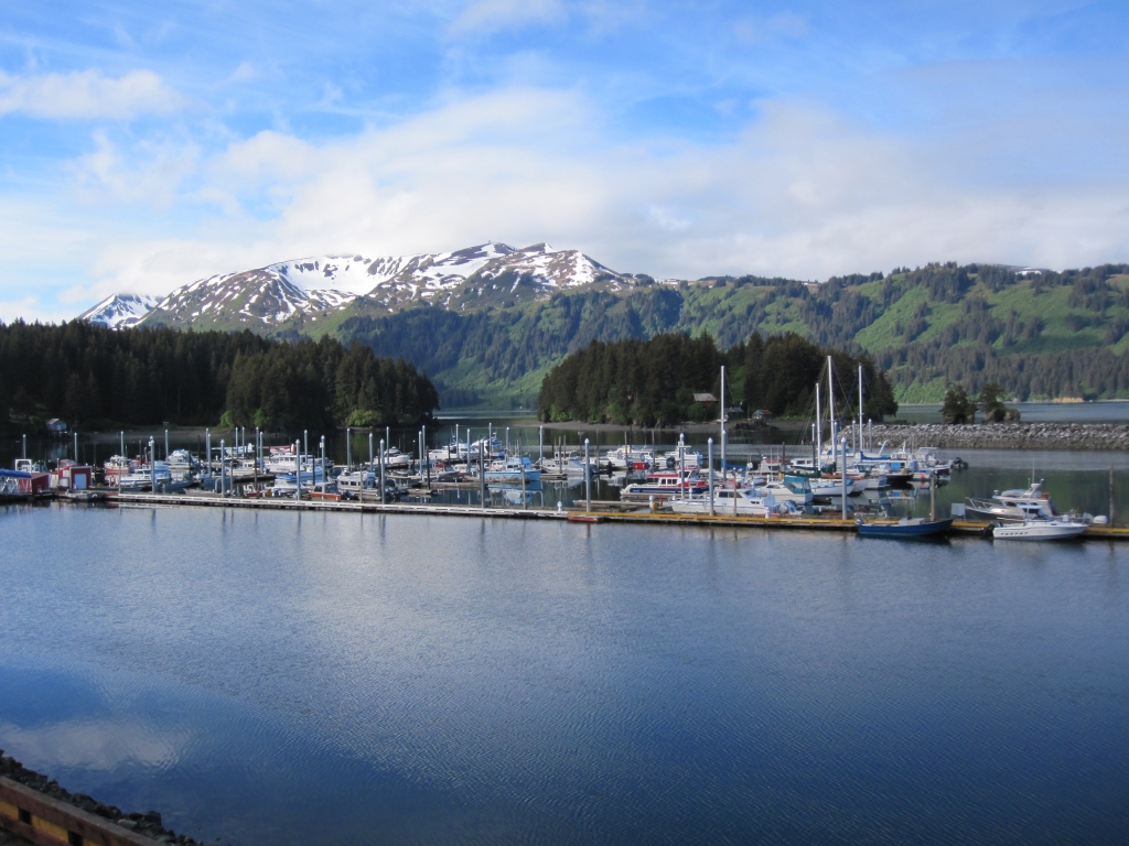
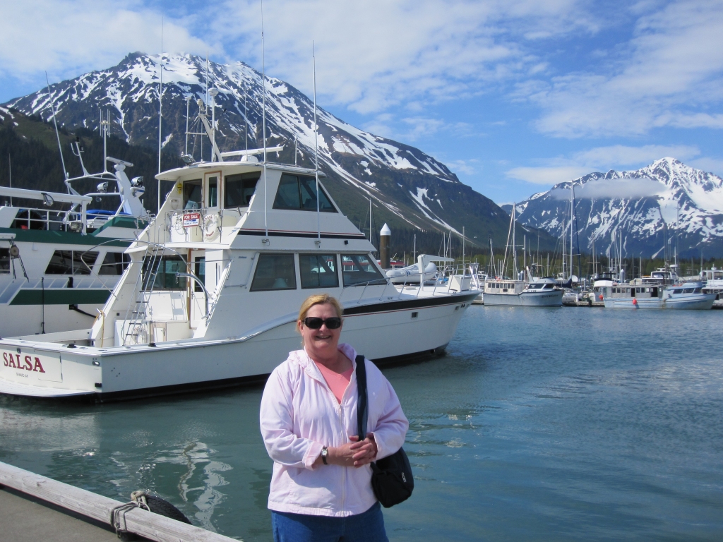 Marina at Seward, AK |
Flight to Seldovia, Alaska - June 19-20, 2010
|
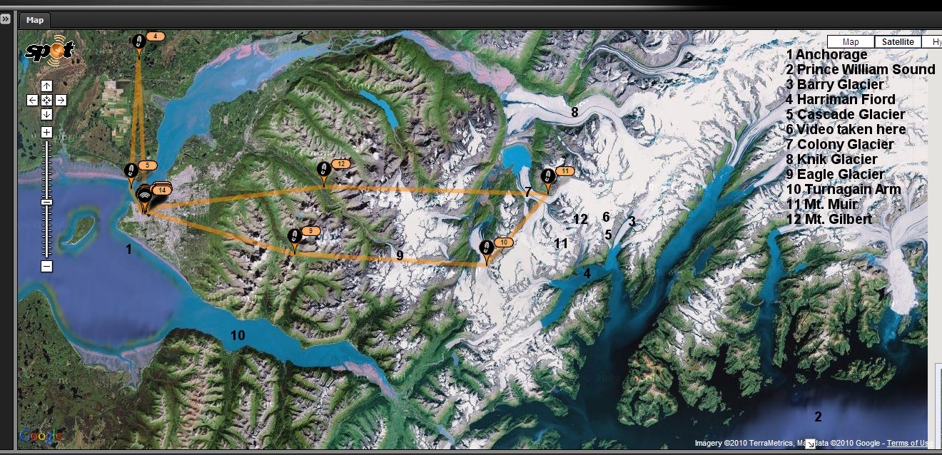
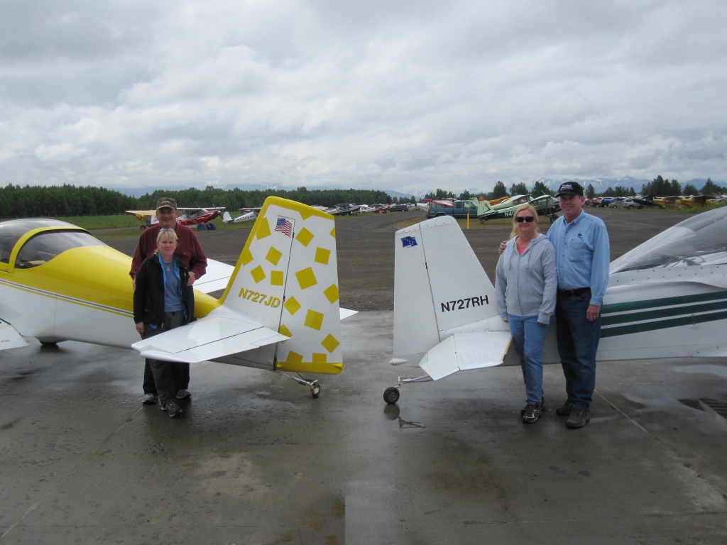
"A Flight of two 727s" - John Davis, Sue Miller, Linda and I flew our Experimental airplanes to Seldovia, Alaska for the weekend 6/19-20/2010. Seldovia was a Russian fur trade post in the late 1700's and is inaccessible except by plane or boat. It lies across Kachemak Bay from Homer, Alaska which is literally "The End of the Road" after driving as far west as you can in North America. "Seldovia is to Alaska what Alaska is to people from the Lower 48" [Mayor of Seldovia] Seldovia Chamber website - City website Map showing Seldovia and our route. Our airplane numbers: N727JD and N727RH were a slight challenge for Air Traffic Control and Flight Service. June 19th was the 12 year anniversary of my Mustang II's First Flight. | ||||
 "The Flight of Two 727s" |
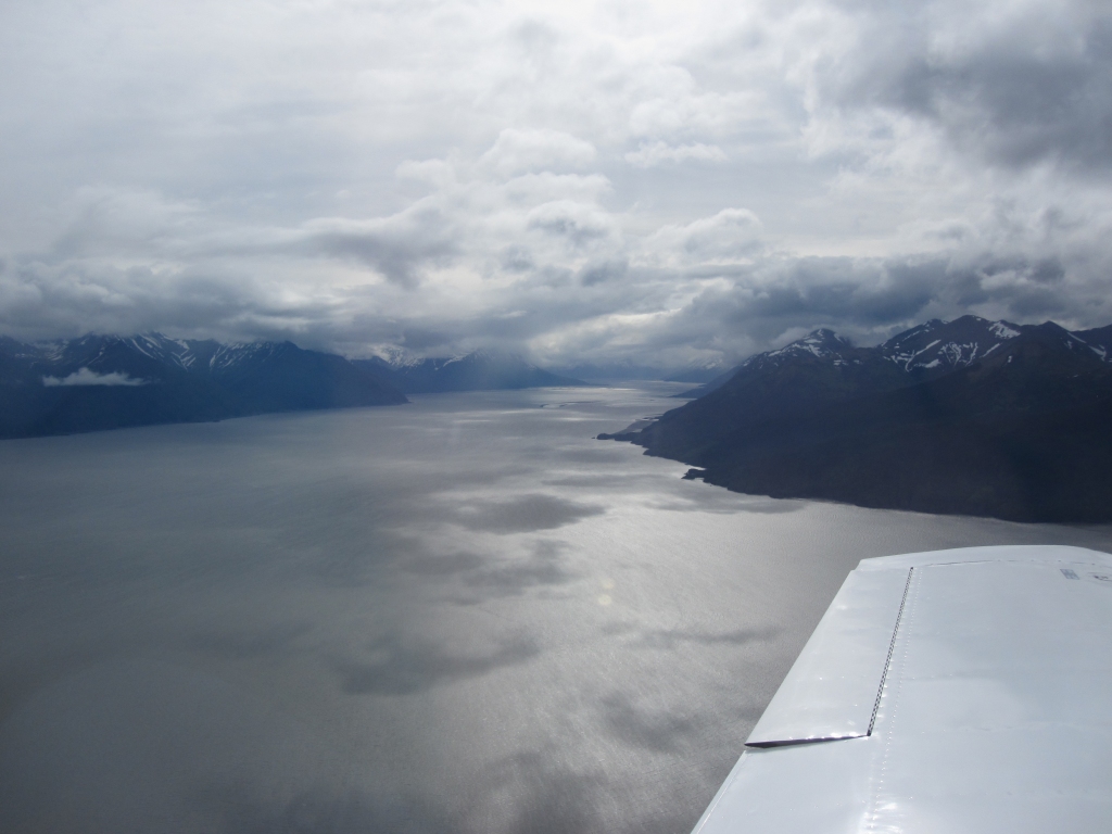 Crossing the Turnagain Arm south of Anchorage |
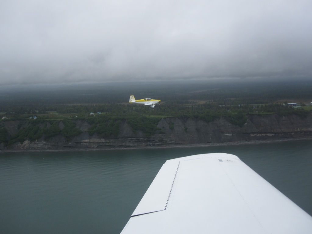 In formation with John near Ninilchik, Alaska |
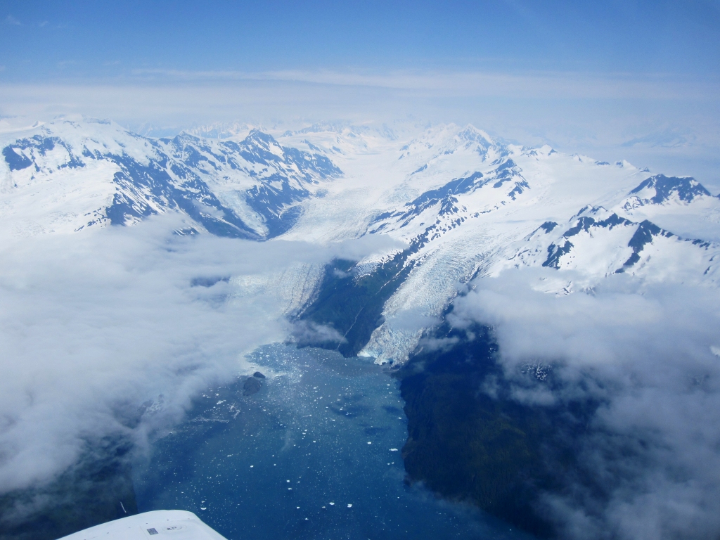
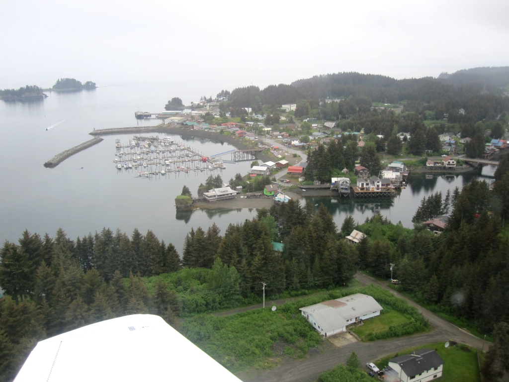 Seldovia, Alaska |
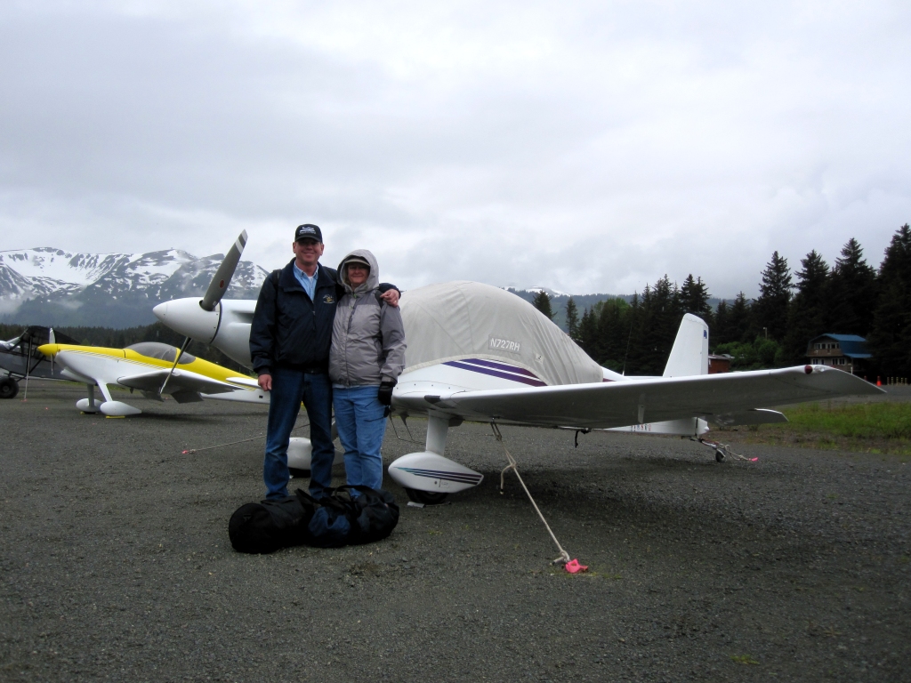 Linda with me at Seldovia |
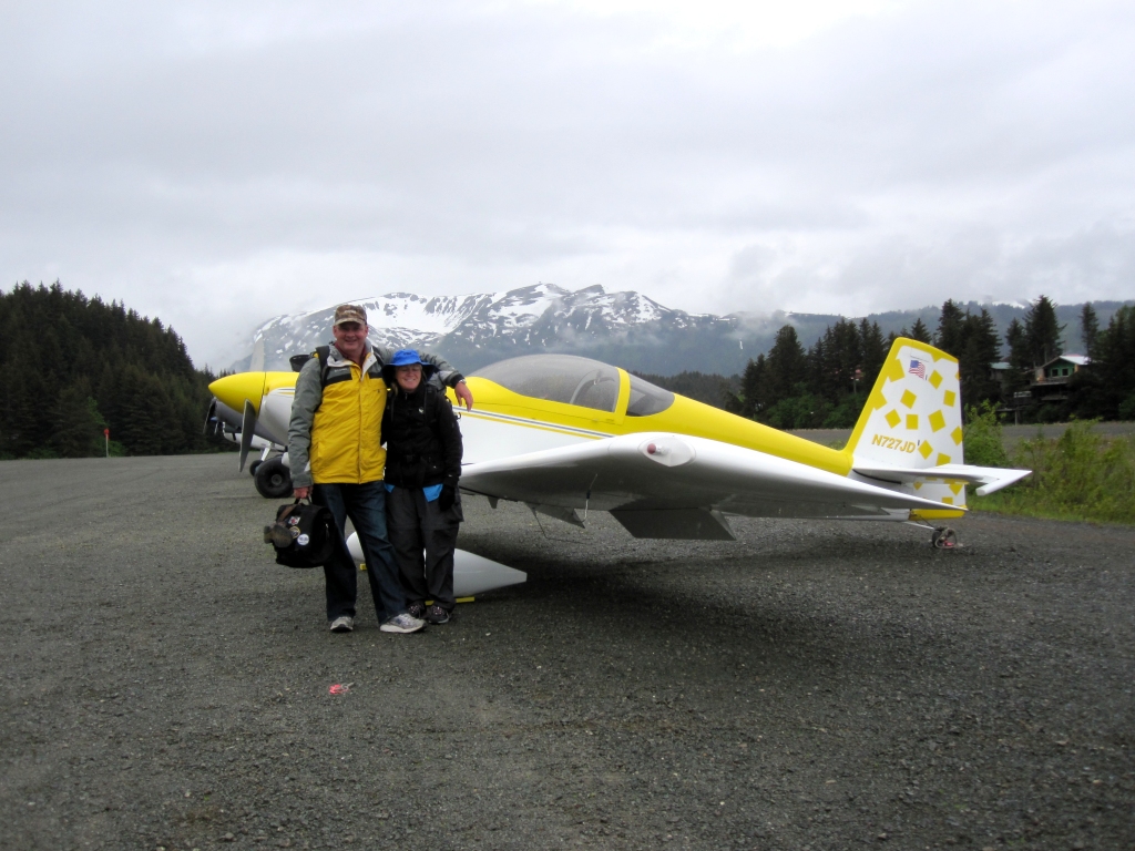 John and Sue in Seldovia with their RV-7 N727JD |
 View from the Boardwalk Hotel |
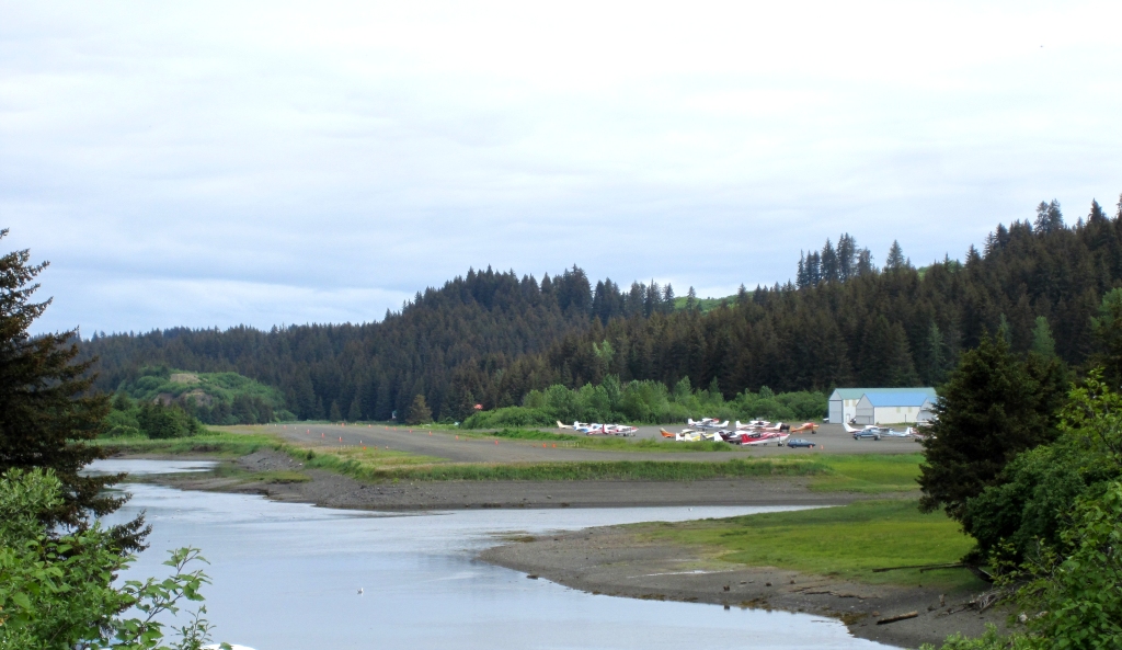 Seldovia airport - 1850' gravel viewed from the bridge |
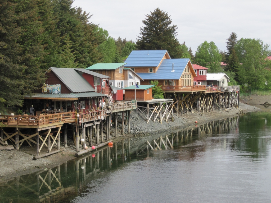 View north from the bridge in Seldovia |
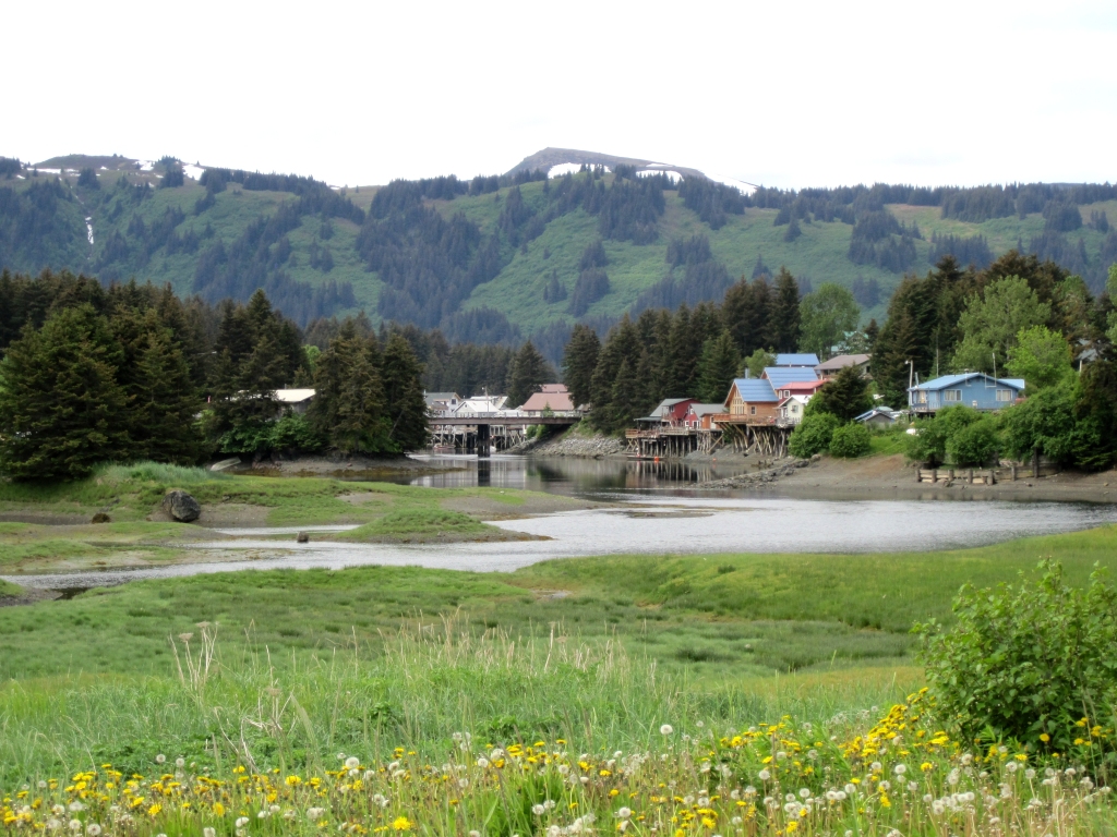 View of town from the south end of Seldovia airport |
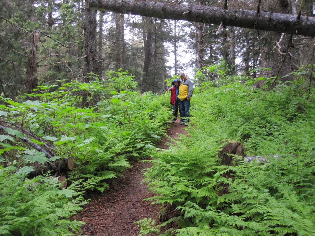 John and Sue as we hiked the "Otter Bahn Trail" |
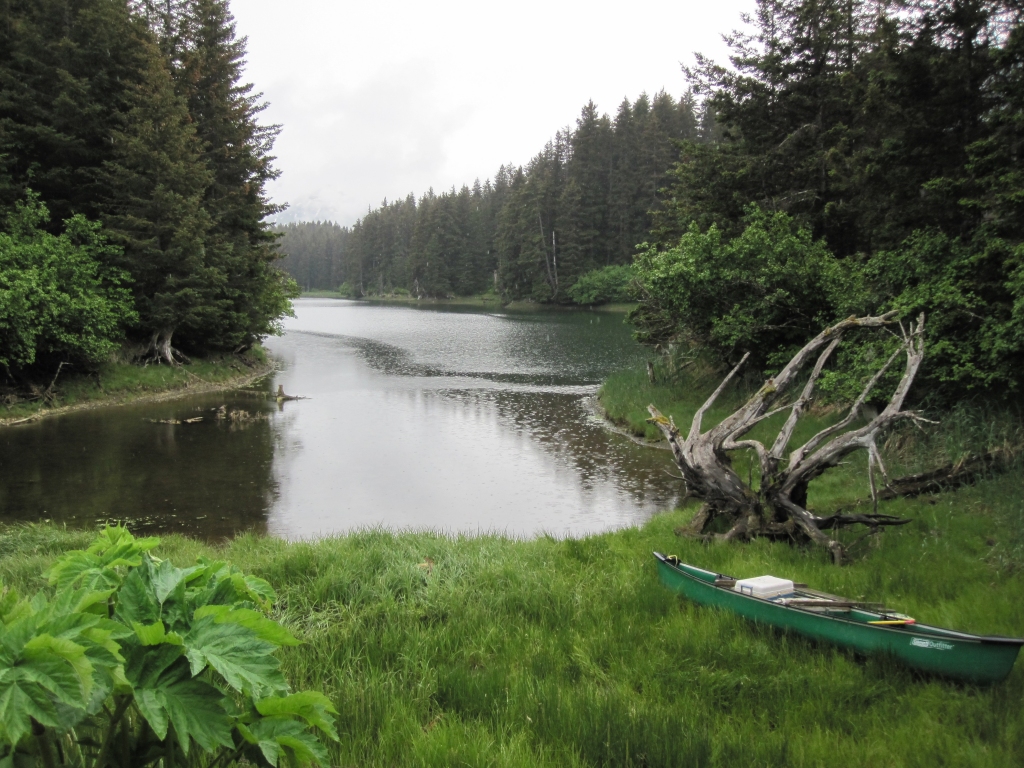 The Seldovia Slough |
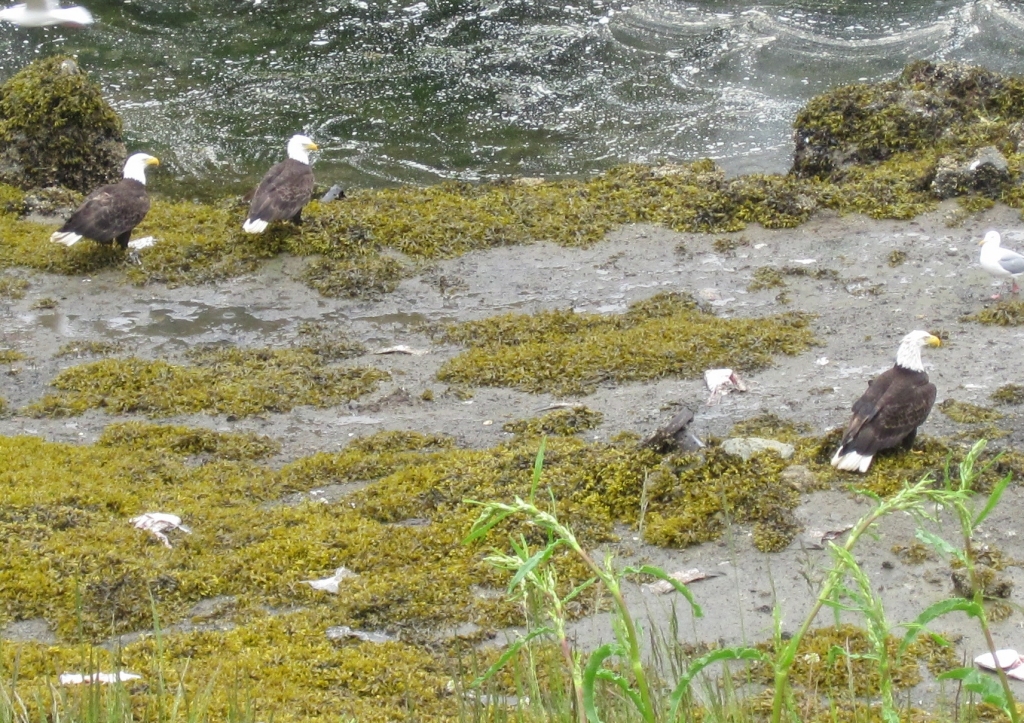 Three bald eagles At one point we saw seven |
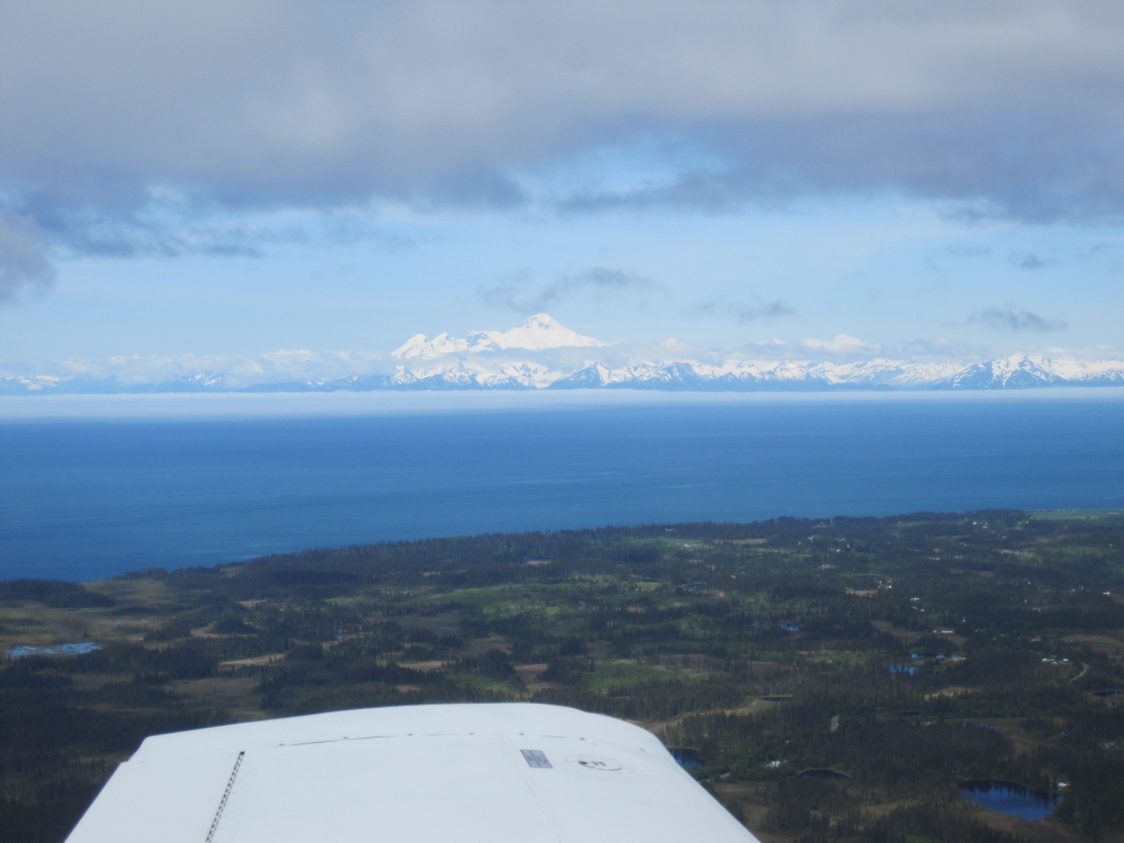 Iliamna volcano across Cook Inlet |
 Final to runway 7 Left at Anchorage International Runway 7 Right is under reconstruction this summer |
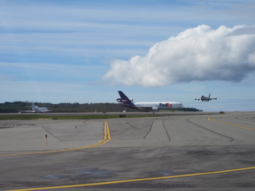 "Working" airplanes at Anchorage International airport |
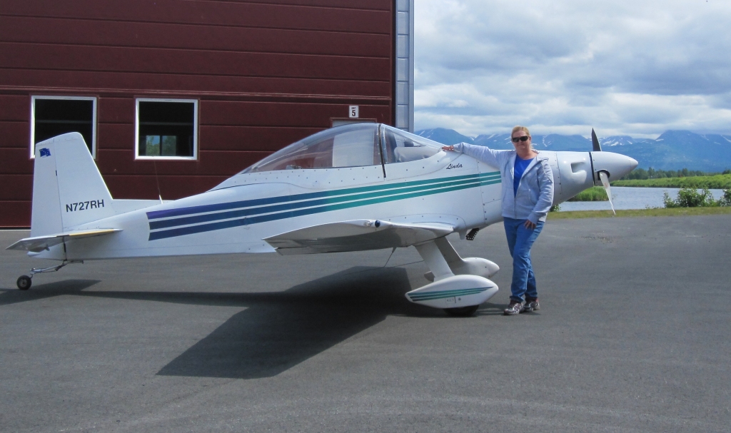 Linda and the Mustang II in front of the hangar at Lake Hood |